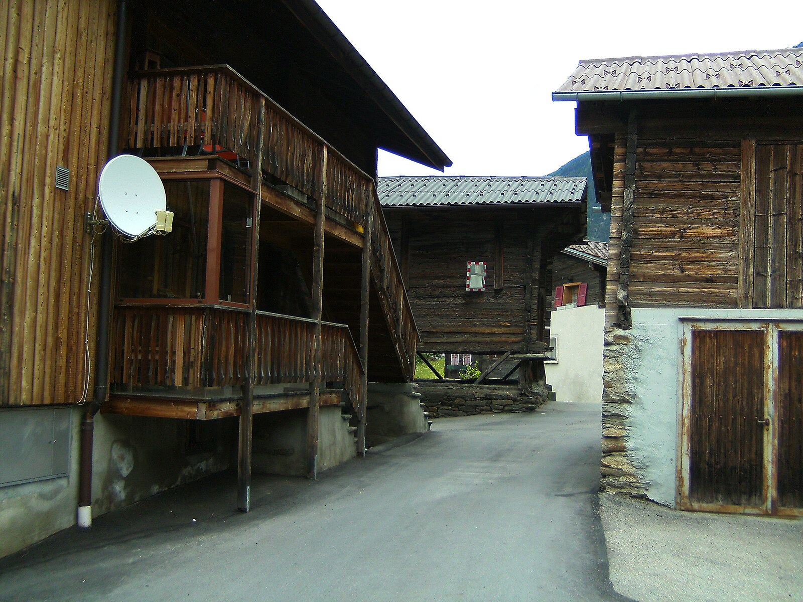
Ried-Brig
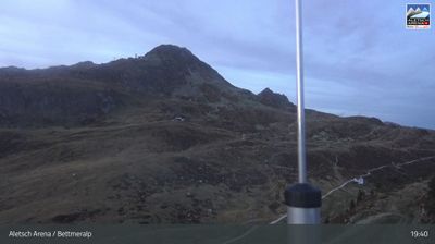
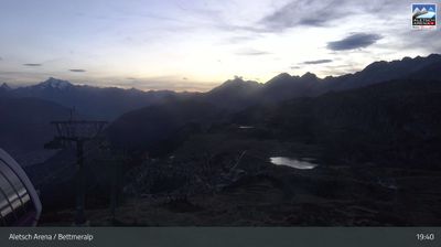
Živá webkamera
Otevřené vleky: 0%
Sněhová zpráva
- Posledních 24h: 0 cm
- Posledních 72h: 0 cm
- Posledních 7 dní: 0 cm
- Posledních 7 dní: Údolí 0cm · Střední část 0cm · Vrchol 0cm
- Sezónní úhrn: 0.1 cm
Lyžařská střediska otevřená právě teď · Sněhová zpráva
About Ried-Brig
A tranquil Valaisan balcony offering a slow-paced escape with sweeping views over the Rhone Valley and the Simplon pass.
Highlights
- Panoramic valley vistas
- Traditional sun-blackened timber
- Simplon pass access
- Quiet mountain seclusion
Key Facts
- Altitude: 1049m
- Top lift: 2536m
- Ski pistes: 9km
- Ski lifts: 6
- Population: 2,141
- 4000m+ peaks nearby: 2
- Lakes nearby: 17
- MTB trails: 256.1km
- Mountain huts: 6
Ski Area
Zahrnuto v těchto sezonních permanentkách
Weather and 10-day forecast for Ried-Brig
- Today: 7 to 16 °C, clear sky, 12 h of sunshine
- Freezing level today: about 4007 m (3790 to 4240 m)
| Day | Min / max | Sky | Precipitation | Sunshine |
|---|---|---|---|---|
| st 23. 9. | 7 / 16 °C | clear sky | dry | 12 h sun |
| čt 24. 9. | 8 / 15 °C | partly cloudy | dry | 5 h sun |
| pá 25. 9. | 7 / 18 °C | overcast | dry | 3 h sun |
| so 26. 9. | 5 / 19 °C | clear sky | dry | 12 h sun |
| ne 27. 9. | 6 / 20 °C | clear sky | dry | 12 h sun |
| po 28. 9. | 7 / 21 °C | clear sky | dry | 12 h sun |
| út 29. 9. | 12 / 20 °C | clear sky | dry | 12 h sun |
| st 30. 9. | 11 / 19 °C | clear sky | dry | 12 h sun |
| čt 1. 10. | 8 / 11 °C | rain showers | dry | 1 h sun |
| pá 2. 10. | 1 / 8 °C | snow showers | dry | 6 h sun |
Things to do in Ried-Brig
Hikes nearby — Ried-Brig (20)
20+ curated hiking trails around Ried-Brig, sourced from OpenStreetMap and enriched with distance, elevation gain and difficulty.
-
Walliser Sonnenweg Etappe 4
The route runs high above the Rhône Valley, tracing the line of the Lötschberg railway for much of its length, with views across the Walliser Alps. It ends in Brig, home to the Stockalper Palace, passing historical water channels along the way.
-
Rotten-Weg Bitsch–Lalden
The trail follows the so-called Red Mile — marked by a continuous red stripe on the tarmac along the former Furka-Oberalp railway route — tracing the gently flowing Rhône through a mix of rural and urban landscapes with panoramic views of the surrounding Alps. Passing through Naters, walkers encounter the World Nature Forum, a centre dedicated to nature conservation, before the path continues alongside the river to Lalden.
-
Via Alpina Blue D4
Binn - Rosswald
-
Via Alpina Blue D5
Rosswald - Simplonpass
-
17-Alpenpässe-Weg
From the cable car at Rosswald — a car-free sun terrace above the Rhône valley with sweeping views over the Valaisian and Bernese Alps — the route traces the Bärgwasser irrigation channel (Suone) before climbing past the Bortelhütte and descending to the Simplon Pass road gallery at Schallbett. In autumn, the larch forests above Rothwald turn gold and the slopes offer wild blueberries along the way.
-
Alpenpässe-Weg
This stage of the Alpine Passes Trail crosses through the Binntal Landscape Park, a valley renowned for its mineral wealth — more than 200 different minerals have been found here, over half of them in the Lengenbach mineral mine, where snow-white dolomite marble can be searched for fool's gold.
-
16-Alpenpässe-Weg
-
Lötschberger Südrampe
-
ViaStockalper
The ViaStockalper follows a mule track expanded more than 300 years ago by Kaspar Stockalper, tracing a historic cultural route from Brig toward the Simplon Pass. The path passes through terrain carved directly into rock — as visible at Schallberg — on a route that has been revived in recent years as a living piece of Alpine history.
-
Burgspitz - Rosswald-Talstation
-
Rundweg Brigerberg
Tato okružní trasa prochází rozptýlenými osadami Termen a Ried-Brig a stoupá k nejvyššímu bodu na Burgspitz na morénové terase Brigerberg — krajině s prehistorickými kořeny, jak dokládají archeologické nálezy. Stezka byla vybudována v souvislosti s historickou cestou Stockalperweg.
-
Rundweg Brigerberg
A leisurely circular walk through a landscape steeped in history, the Rundweg Brigerberg traces terrain with roots stretching back to prehistoric times, all while commanding views over the Rhone Valley below.
-
Ried-Brig - Rosswald
-
Rosswald - Burgspitz
-
Schallberg - Ried-Brig
-
Brig - Bitsch
-
Ganterbrücke - Schallberg
-
Ganterbrücke - Undri Schmidmatte
-
Z'Garden - Fülhorn
The route follows old military paths through the high terrain above Rosswald, linking the summits of Folluhorn and Fülhorn (2,738 m) with the Rhône valley spread out in the background below.
-
Rosswald - Stafel
Mountain biking near Ried-Brig
- Talweg Ganter
- Ober Schitter
- Basweri
Getting to Ried-Brig
Door-to-door travel times as used by the MR. ALPS ranking.
- Nearest airport: Milan Malpensa International Airport (MXP), 93 km away, about 2h18 by road
- Lausanne: 1h54 by car, 155 km
- Bern: 1h56 by train, 115 km
- Genève: 2h33 by car, 217 km
- Biel/Bienne: 2h33 by train, 148 km
- Luzern: 2h33 by car, 157 km
- Milano: 2h35 by car, 184 km
Where to stay in Ried-Brig
200 places to stay for a night on 2026-09-25, from 159 EUR per night, median 239 EUR. Prices are direct with hotels and destinations, compared live on the Ried-Brig page.