Rein in Taufers (Riva di Tures)
Živá webkamera
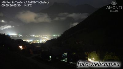
Otevřené vleky: 0/2
Sněhová zpráva
- Posledních 24h: 0 cm
- Posledních 72h: 0 cm
- Posledních 7 dní: 0 cm
- Posledních 7 dní: Údolí 0.2cm · Střední část 0cm · Vrchol 0.2cm
- Sezónní úhrn: 0 cm
Lyžařská střediska otevřená právě teď · Sněhová zpráva
About Rein in Taufers (Riva di Tures)
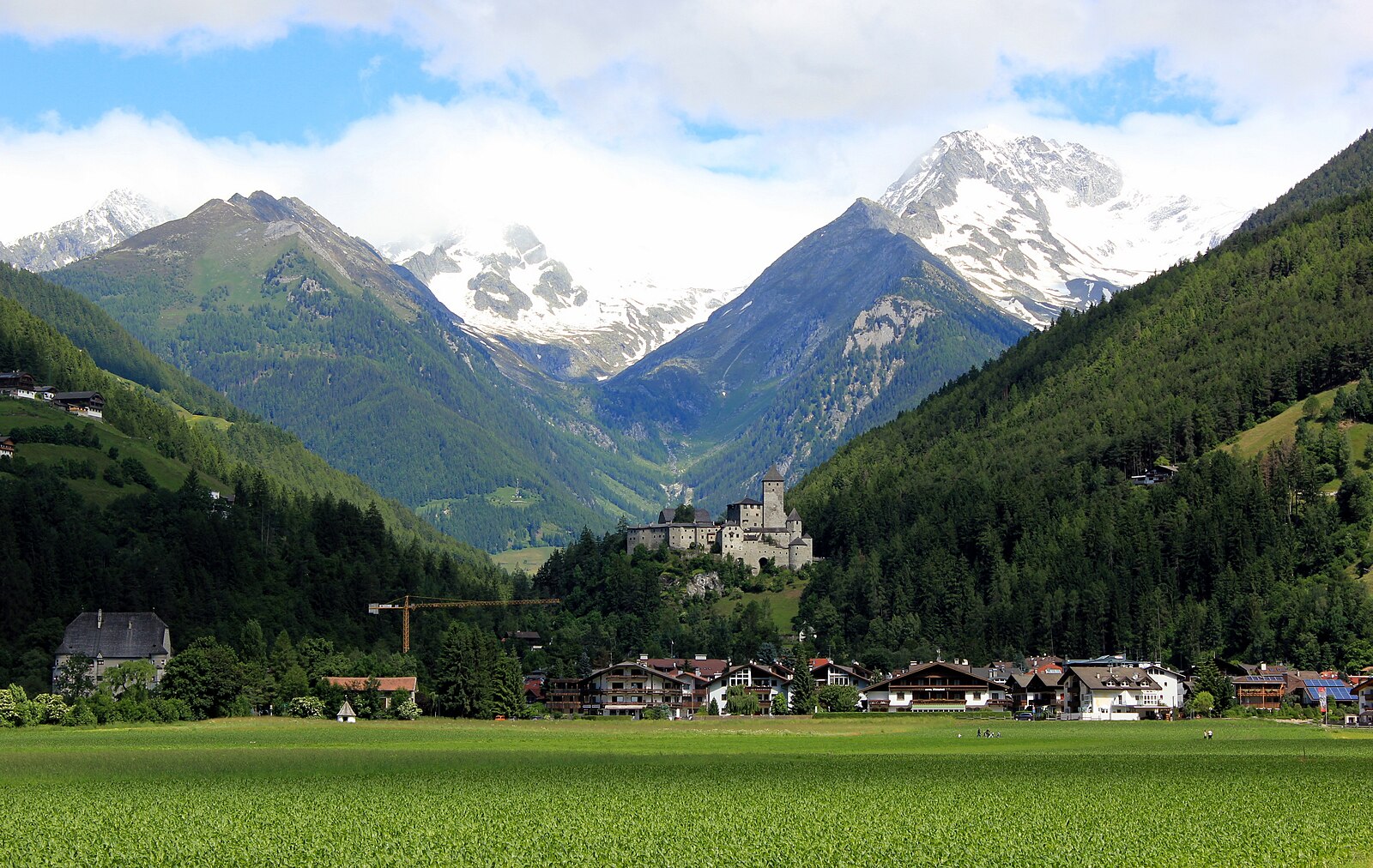
A secluded South Tyrolean sanctuary where high-altitude cross-country trails meet the rugged spirit of the Rieserferner-Ahrn peaks.
Highlights
- High-altitude Nordic trails
- Ice climbing mecca
- Traditional Tyrolean farmsteads
- Alpine mountaineering hub
Key Facts
- Altitude: 1550m
- Top lift: 1835m
- Ski pistes: 4km
- Ski lifts: 2
- Population: 340
- Lakes nearby: 12
- MTB trails: 48.8km
- Mountain huts: 10
Ski Area
Weather and 10-day forecast for Rein in Taufers (Riva di Tures)
- Today: 4 to 14 °C, rain, 1 h of sunshine
- Freezing level today: about 3136 m (2330 to 3810 m)
| Day | Min / max | Sky | Precipitation | Sunshine |
|---|---|---|---|---|
| čt 24. 9. | 4 / 14 °C | rain | dry | 1 h sun |
| pá 25. 9. | 2 / 15 °C | clear sky | dry | 11 h sun |
| so 26. 9. | 5 / 19 °C | clear sky | dry | 11 h sun |
| ne 27. 9. | 7 / 17 °C | clear sky | dry | 11 h sun |
| po 28. 9. | 9 / 19 °C | clear sky | dry | 11 h sun |
| út 29. 9. | 8 / 20 °C | clear sky | dry | 11 h sun |
| st 30. 9. | 11 / 19 °C | clear sky | dry | 10 h sun |
| čt 1. 10. | 10 / 19 °C | clear sky | dry | 10 h sun |
| pá 2. 10. | 5 / 14 °C | overcast | dry | 2 h sun |
| so 3. 10. | 4 / 15 °C | drizzle | dry | 2 h sun |
Things to do in Rein in Taufers (Riva di Tures)
Hikes nearby — Rein in Taufers (Riva di Tures) (17)
17 curated hiking trails around Rein in Taufers (Riva di Tures), sourced from OpenStreetMap and enriched with distance, elevation gain and difficulty.
-
Reiner Höhenweg
A high-level traverse from alm to alm across slopes that rise from Rein in Taufers toward the summits of the Durreckgruppe, the route passes through larch forest and meadows before reaching the "Lobiser Schupfen" — a cluster of hay huts named for the alpine sorrel growing there. Along the way, the path opens onto views of the glaciated Rieserfernergruppe to the east and the jagged rock peaks above the inner Knuttental.
-
Fuldaerweg
-
Via Alpina Red R32
Rieserfernerhütte / Rifugio Vedrette di Ries » Ahornach / Acereto
-
A.-Hartdegen-Weg
-
Durreck-Höhenweg
A high ridge path surveying three valleys — Ahrn, Tauferer, and Rein — with views stretching across the glaciated crests of the Venedigergruppe and Zillertaler Hauptkamm, and a final reveal of the unmistakable profile of the Hochgall (3436 m) above the Reintal. The traverse of the Pojenkamm demands sure-footedness, with fixed wire-rope protection securing the most exposed sections.
-
Höfeweg
-
Pieterstein
-
Daimerweg
-
Via Alpina Red R31
Antholz-Mittertal / Anterselva di Mezzo » Rieserfernerhütte / Rifugio Vedrette di Ries
-
Via Alpina Red R30
St. Martin in Gsies / S. Martino in Casies - Antholz-Mittertal / Anterselva di Mezzo
-
Naturerlebnispfad
-
Dammweg
-
Mittertaler Höhenweg
-
Schafkopf
-
Durchs Toul
-
Almenrunde
-
Durchs Toul
Getting to Rein in Taufers (Riva di Tures)
Door-to-door travel times as used by the MR. ALPS ranking.
- Nearest airport: Bolzano Airport (BZO), 78 km away, about 1h39 by road
- Bolzano - Bozen: 1h33 by car, 99 km
- Innsbruck: 2h02 by car, 132 km
- Trento: 2h04 by car, 155 km
- Verona: 3h02 by car, 250 km
- Brescia: 3h33 by car, 286 km
- Padova: 3h33 by car, 263 km
Where to stay in Rein in Taufers (Riva di Tures)
133 places to stay for a night on 2026-09-25, from 132 EUR per night, median 377 EUR. Prices are direct with hotels and destinations, compared live on the Rein in Taufers (Riva di Tures) page.