Pichl
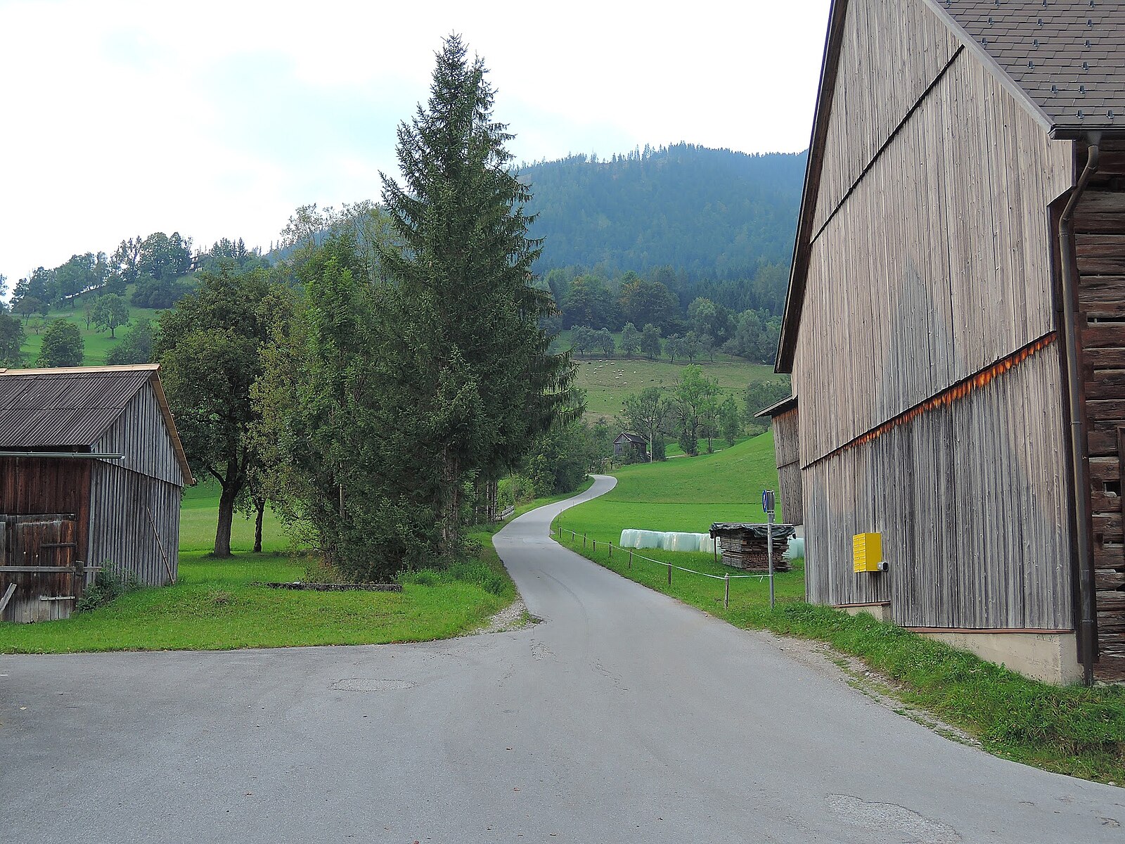
Živá webkamera
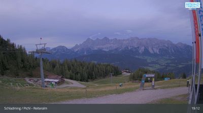
Otevřené vleky: 0/47
Sněhová zpráva
- Posledních 24h: 0 cm
- Posledních 72h: 0 cm
- Posledních 7 dní: 0 cm
- Posledních 7 dní: Údolí 0cm · Střední část 0cm · Vrchol 0cm
- Sezónní úhrn: 2 cm
Lyžařská střediska otevřená právě teď · Sněhová zpráva
About Pichl
A quiet gateway to the Ennstal valley, favored by those seeking direct mountain access without the crowded fanfare of neighboring hubs.
Highlights
- Direct slope access
- Quiet valley charm
- Family-run guesthouses
- Efficient transit links
Key Facts
- Altitude: 765m
- Top lift: 2015m
- Ski pistes: 123km
- Ski lifts: 47
- Population: 2,863
- Lakes nearby: 39
- MTB trails: 837.1km
- Mountain huts: 57
Ski Area
Schladming – 4-Berge-Skischaukel – Planai/Hochwurzen/Hauser Kaibling/Reiteralm
Zahrnuto v těchto sezonních permanentkách
Weather and 10-day forecast for Pichl
- Today: 6 to 13 °C, rain showers, 1 h of sunshine
- Freezing level today: about 2677 m (2090 to 3210 m)
| Day | Min / max | Sky | Precipitation | Sunshine |
|---|---|---|---|---|
| čt 24. 9. | 6 / 13 °C | rain showers | dry | 1 h sun |
| pá 25. 9. | 2 / 12 °C | clear sky | dry | 12 h sun |
| so 26. 9. | 2 / 17 °C | clear sky | dry | 10 h sun |
| ne 27. 9. | 5 / 19 °C | clear sky | dry | 12 h sun |
| po 28. 9. | 7 / 20 °C | clear sky | dry | 11 h sun |
| út 29. 9. | 11 / 22 °C | clear sky | dry | 11 h sun |
| st 30. 9. | 10 / 20 °C | clear sky | dry | 11 h sun |
| čt 1. 10. | 5 / 17 °C | clear sky | dry | 11 h sun |
| pá 2. 10. | 6 / 16 °C | drizzle | dry | 1 h sun |
| so 3. 10. | 7 / 14 °C | drizzle | dry | 3 h sun |
Things to do in Pichl
Hikes nearby — Pichl (13)
13 curated hiking trails around Pichl, sourced from OpenStreetMap and enriched with distance, elevation gain and difficulty.
-
Wanderweg 773
Schladming – Talbach – Untertal – Obertal – Latterfußsattel – Schneider – Kote 2215 – Brettersee – Ignaz-Mattis-Hütte
-
Dachstein-Tauern-Panoramaweg
Rundweg rechts und links der Enns
-
Wanderweg 772
Pichl/ Bhf. - Weitgasser - Preunegg - Bankwirt - Kainer - Stegeralm - Reiteralm - Gasselhöhe - Rippeteck
-
Wanderweg 771
The trail begins at a parking lot on Hochwurzenstraße and climbs through forests and across open spaces, accompanied by magnificent views. It eventually crosses the provincial border into Salzburg.
-
Märchenweg
-
Wanderweg 61
Gh. Waldfrieden – Unterer Forstweg – Oberer Forstweg – Hüttecksattel
-
Wanderweg 63
-
Wanderweg 60
Gh. Waldfrieden – Hochwurzenhütte – Hüttecksattel – Latterfußsattel – einmd. Weg 773
-
Vorberg Verbindung
-
Bankerlweg
-
Kulmbergrundweg
-
Dachsteinrundwanderweg
-
Almspaziergang
Mountain biking near Pichl
- Dachsteinrunde Blau
- Rohrmoos Runde
- Planai Runde
- Sonnseitn Runde
- Vorberg Trail
- Gassl Trail
- Eiskar Trail
- Stadium Flowline
Getting to Pichl
Door-to-door travel times as used by the MR. ALPS ranking.
- Nearest airport: Salzburg Airport (SZG), 67 km away, about 1h15 by road
- Graz: 2h14 by car, 173 km
- München: 2h34 by car, 226 km
- Innsbruck: 3h07 by car, 264 km
- Wien: 3h26 by car, 289 km
- Nürnberg: 4h03 by car, 395 km
- Bolzano - Bozen: 4h33 by car, 379 km
Where to stay in Pichl
200 places to stay for a night on 2026-09-25, from 111 EUR per night, median 338 EUR. Prices are direct with hotels and destinations, compared live on the Pichl page.