Monte Bondone
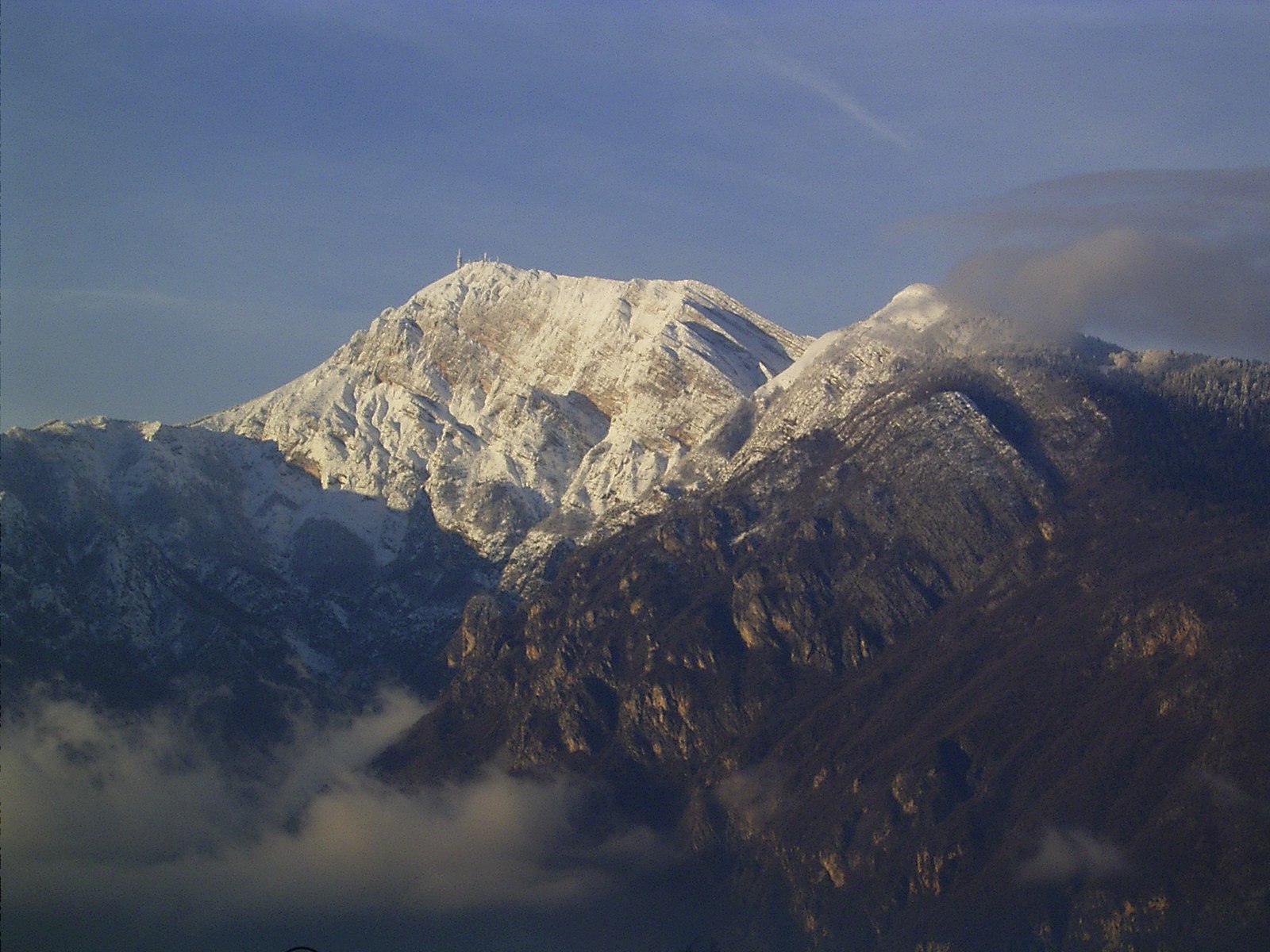
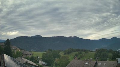
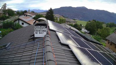
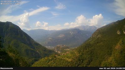
Živá webkamera
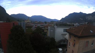
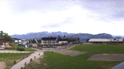
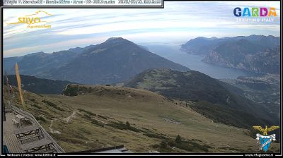
Otevřené vleky: 0/4
Sněhová zpráva
- Posledních 24h: 0 cm
- Posledních 72h: 0 cm
- Posledních 7 dní: 0 cm
- Posledních 7 dní: Údolí 0cm · Střední část 0cm · Vrchol 0cm
- Sezónní úhrn: 0 cm
Lyžařská střediska otevřená právě teď · Sněhová zpráva
About Monte Bondone
A historic local favorite hovering above Trento, beloved for its wide-open sunny slopes and its status as a pioneer of Italian ski culture.
Highlights
- Sun-drenched plateaus
- Family-oriented atmosphere
- Panoramic city views
- Night skiing sessions
Key Facts
- Altitude: 1189m
- Top lift: 2090m
- Ski pistes: 18km
- Ski lifts: 4
- Population: 197
- Lakes nearby: 7
- MTB trails: 317.9km
- Mountain huts: 15
Ski Area
Zahrnuto v těchto sezonních permanentkách
Weather and 10-day forecast for Monte Bondone
- Today: 4 to 12 °C, overcast, 1 h of sunshine
- Freezing level today: about 3579 m (3080 to 3930 m)
| Day | Min / max | Sky | Precipitation | Sunshine |
|---|---|---|---|---|
| čt 24. 9. | 4 / 12 °C | overcast | dry | 1 h sun |
| pá 25. 9. | 2 / 9 °C | mainly clear | dry | 7 h sun |
| so 26. 9. | 2 / 11 °C | clear sky | dry | 9 h sun |
| ne 27. 9. | 1 / 13 °C | clear sky | dry | 12 h sun |
| po 28. 9. | 3 / 14 °C | clear sky | dry | 12 h sun |
| út 29. 9. | 7 / 14 °C | partly cloudy | dry | 7 h sun |
| st 30. 9. | 9 / 15 °C | mainly clear | dry | 8 h sun |
| čt 1. 10. | 3 / 10 °C | overcast | dry | 8 h sun |
| pá 2. 10. | 2 / 9 °C | overcast | dry | 11 h sun |
| so 3. 10. | 1 / 10 °C | partly cloudy | dry | 11 h sun |
Things to do in Monte Bondone
Hikes nearby — Monte Bondone (15)
15 curated hiking trails around Monte Bondone, sourced from OpenStreetMap and enriched with distance, elevation gain and difficulty.
-
Via ferrata dei Sparavèi
-
Sentiero della Val delle Gole
-
Sentiero dei Carboneri
-
Sentiero alpinistico del Coraza
-
Sentiero naturalistico delle Tre Cime
The Sentiero naturalistico delle Tre Cime threads through the alpine meadows of Monte Bondone, passing alongside a sphagnum bog and the Terrazza delle Stelle near an astronomical observatory. The route connects the three summits of the Bondone massif, where the south-facing slopes of Cima Verde give way to opposite flanks of intense deep pink — a striking contrast of colour across the ridgeline.
-
Sentiero delle Pozze
-
Giro dei Masi
-
Passeggiata archeologica di Cavedine
Il percorso archeologico di Cavedine (TN) è un itinerario sterrato ad anello percorribile a piedi che conduce alla scoperta di alcuni siti d’importanza archeologica con punti d’interesse storico-culturali-archeologici e naturalistici.
-
Sentiero di Valstornada
-
Cammino dei Sette Laghi - tappa 3
Tappa piuttosto impegnativa per via del dislivello, ma comunque lascia il tempo per visitare i piccoli ma interessanti paesi posti lungo il percorso
-
Sentiero San Vili basso
-
Cammino dei Sette Laghi
-
Dal Castello al Monte
-
Giro della Malga Finonchio
-
Giro delle Teleferiche
Mountain biking near Monte Bondone
- Strada forestale Prà Lombard
- Panarofol
- Senter del Strengiador
Getting to Monte Bondone
Door-to-door travel times as used by the MR. ALPS ranking.
- Nearest airport: Verona Villafranca Valerio Catullo Airport (VRN), 67 km away, about 1h20 by road
- Trento: 20 min by car, 18 km
- Bolzano - Bozen: 57 min by car, 75 km
- Verona: 1h11 by car, 92 km
- Brescia: 1h41 by car, 128 km
- Padova: 1h55 by car, 171 km
- Innsbruck: 2h24 by car, 195 km
Where to stay in Monte Bondone
125 places to stay for a night on 2026-09-25, from 109 EUR per night, median 231 EUR. Prices are direct with hotels and destinations, compared live on the Monte Bondone page.