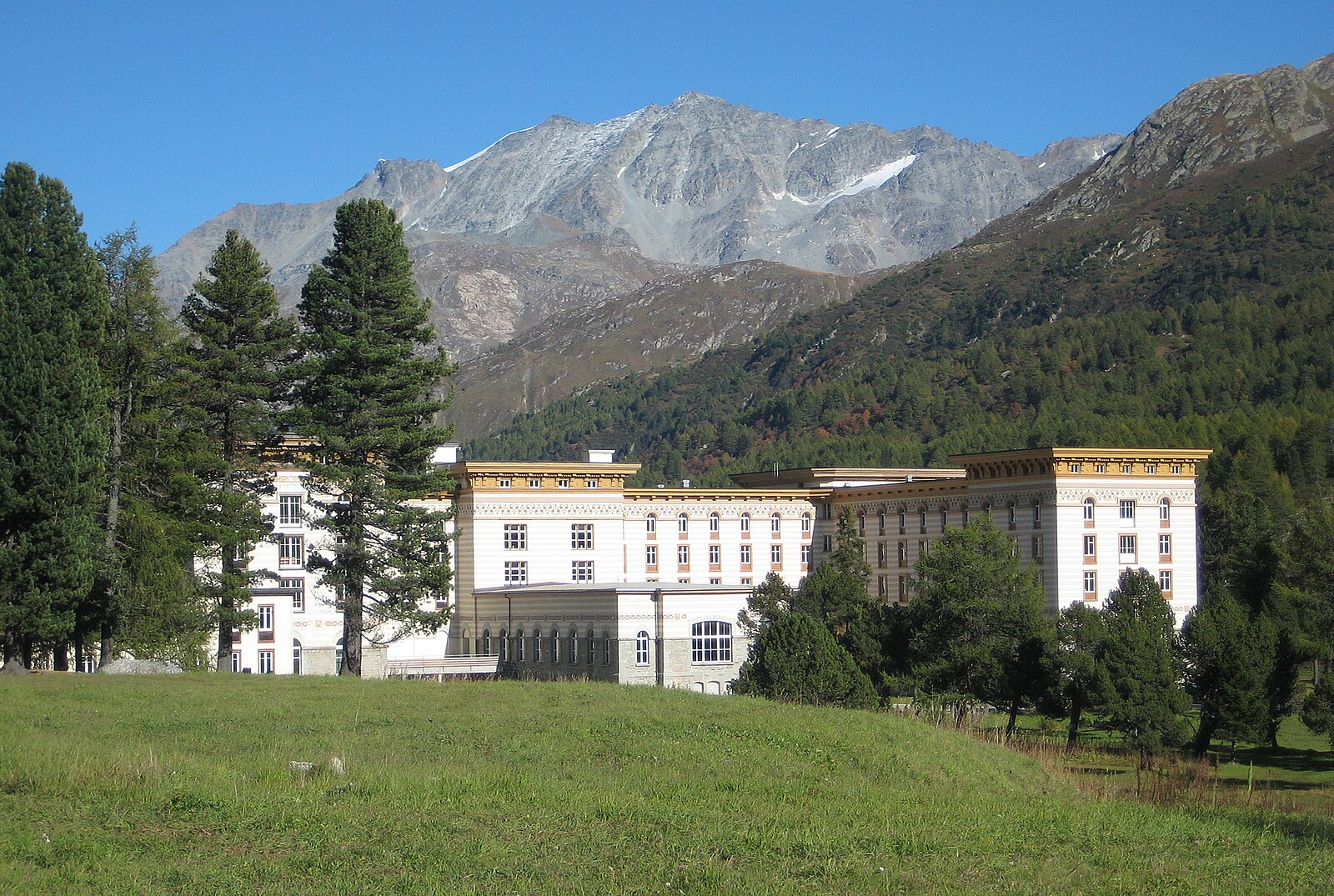
Maloja
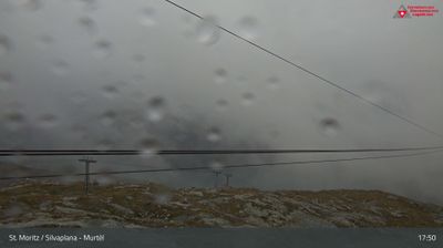
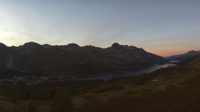
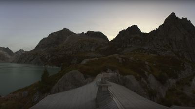
Živá webkamera



Sněhová zpráva
- Posledních 24h: 0 cm
- Posledních 72h: 0 cm
- Posledních 7 dní: 0 cm
- Posledních 7 dní: Údolí 0cm · Střední část 0cm · Vrchol 0cm
- Sezónní úhrn: 18.3 cm
Lyžařská střediska otevřená právě teď · Sněhová zpráva
About Maloja
A moody, intellectual pass village where the Engadin valley ends and the rugged precipice toward Italy begins.
Highlights
- Alpine pass culture
- Segantini artistic legacy
- Granite peak views
- Cross-country hub
Key Facts
- Altitude: 1801m
- Top lift: 2136m
- Ski pistes: 3km
- Ski lifts: 2
- Population: 300
- 4000m+ peaks nearby: 1
- Lakes nearby: 30
- MTB trails: 89km
- Mountain huts: 22
Ski Area
Zahrnuto v těchto sezonních permanentkách
Weather and 10-day forecast for Maloja
- Today: 3 to 15 °C, clear sky, 12 h of sunshine
- Freezing level today: about 3829 m (3690 to 4000 m)
| Day | Min / max | Sky | Precipitation | Sunshine |
|---|---|---|---|---|
| st 23. 9. | 3 / 15 °C | clear sky | dry | 12 h sun |
| čt 24. 9. | 5 / 14 °C | overcast | dry | 4 h sun |
| pá 25. 9. | 1 / 15 °C | partly cloudy | dry | 4 h sun |
| so 26. 9. | 4 / 18 °C | clear sky | dry | 12 h sun |
| ne 27. 9. | 5 / 18 °C | clear sky | dry | 12 h sun |
| po 28. 9. | 9 / 19 °C | clear sky | dry | 12 h sun |
| út 29. 9. | 10 / 19 °C | clear sky | dry | 12 h sun |
| st 30. 9. | 8 / 17 °C | clear sky | dry | 11 h sun |
| čt 1. 10. | 8 / 14 °C | drizzle | dry | 0 h sun |
| pá 2. 10. | 2 / 8 °C | snow showers | dry | 0 h sun |
Things to do in Maloja
Hikes nearby — Maloja (20)
20+ curated hiking trails around Maloja, sourced from OpenStreetMap and enriched with distance, elevation gain and difficulty.
-
Senda Segantini - Etappe 3
-
ViaSett
-
Senda Segantini - Etappe 2
From Bivio, the trail climbs steadily along a historic Roman trade route, forming the second stage of the Senda Segantini long-distance hiking trail through Parc Ela, ending at Maloja.
-
Maroz Dora-Casaccia
-
Pass da Sett-Maroz Dora
-
Via Panoramica Val Bregaglia
-
Bernina Tour
From Pontresina, the route threads through the Roseg Valley to the Fuorcla Surlej hut at 2,754 m, with views across the Sella and Roseg glaciers and peaks including Piz Tschierva, Biancograt, Piz Roseg, and Piz Glüschaint. The stage ends at the Murtèl cable car station, from which a gondola descends to Silvaplana-Surlej.
-
02-Alpenpässe-Weg
-
Bernina Tour
-
ViaSett
-
Juf - Pass da Sett
-
Lej da la Tscheppa
-
Wasserweg «Ils Lejins»
-
Senda Leg Columban
-
Stallerberg - Bivio
-
ViaSett: _VZ GR-M_1256_69_5 - Vicosoprano
-
Via Engiadina: Maloja Posta - Silvaplauna Ova dal Vallun
-
Senda Segantini: Bivio - Maloja Posta
-
Bernina-Tour: L.S. Corvatsch-Murtèl - Maloja Posta
-
Senda Ils Lejins
Mountain biking near Maloja
- Alpine Bike - Etappe 4
- Fuorcla Surlej
- Val Fedoz
- Tschüchas Trail
Getting to Maloja
Door-to-door travel times as used by the MR. ALPS ranking.
- Nearest airport: Milano Linate Airport (LIN), 111 km away, about 2h29 by road
- Milano: 2h33 by car, 150 km
- Zürich: 2h50 by car, 212 km
- Innsbruck: 3h01 by car, 207 km
- Brescia: 3h06 by car, 181 km
- Luzern: 3h09 by car, 234 km
- Bolzano - Bozen: 3h09 by car, 185 km
Where to stay in Maloja
194 places to stay for a night on 2026-09-25, from 203 EUR per night, median 343 EUR. Prices are direct with hotels and destinations, compared live on the Maloja page.