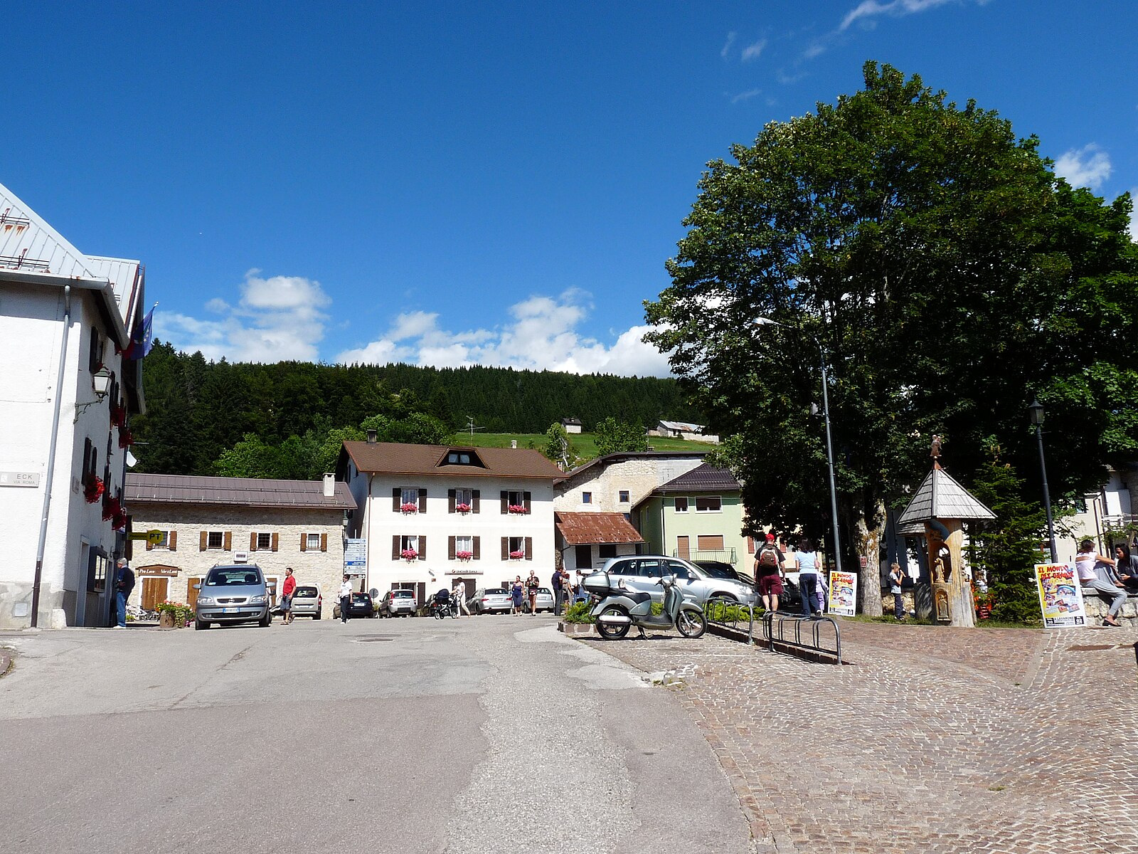
Luserna
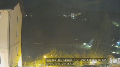
Živá webkamera
Otevřené vleky: 0/28
Sněhová zpráva
- Posledních 24h: 0 cm
- Posledních 72h: 0 cm
- Posledních 7 dní: 0 cm
- Posledních 7 dní: Údolí 0cm · Střední část 0cm · Vrchol 0cm
- Sezónní úhrn: 0 cm
Lyžařská střediska otevřená právě teď · Sněhová zpráva
About Luserna
A secluded stone outpost where Cimbrian heritage thrives, preserving an ancient Germanic dialect and lace-making traditions.
Highlights
- Cimbrian linguistic island
- Bobbin lace craftsmanship
- Traditional stone architecture
- Forest-fringed plateau
Key Facts
- Altitude: 1333m
- Top lift: 1600m
- Ski pistes: 30km
- Ski lifts: 14
- Population: 266
- Lakes nearby: 2
- MTB trails: 134.5km
- Mountain huts: 28
Ski Area
Zahrnuto v těchto sezonních permanentkách
Weather and 10-day forecast for Luserna
- Today: 6 to 15 °C, overcast, 1 h of sunshine
- Freezing level today: about 3575 m (2960 to 3870 m)
| Day | Min / max | Sky | Precipitation | Sunshine |
|---|---|---|---|---|
| čt 24. 9. | 6 / 15 °C | overcast | dry | 1 h sun |
| pá 25. 9. | 4 / 11 °C | mainly clear | dry | 5 h sun |
| so 26. 9. | 4 / 15 °C | partly cloudy | dry | 6 h sun |
| ne 27. 9. | 8 / 17 °C | clear sky | dry | 9 h sun |
| po 28. 9. | 9 / 18 °C | mainly clear | dry | 8 h sun |
| út 29. 9. | 10 / 16 °C | clear sky | dry | 8 h sun |
| st 30. 9. | 9 / 17 °C | mainly clear | dry | 8 h sun |
| čt 1. 10. | 6 / 14 °C | overcast | dry | 11 h sun |
| pá 2. 10. | 5 / 15 °C | overcast | dry | 12 h sun |
| so 3. 10. | 6 / 15 °C | overcast | dry | 11 h sun |
Things to do in Luserna
Hikes nearby — Luserna (15)
15 curated hiking trails around Luserna, sourced from OpenStreetMap and enriched with distance, elevation gain and difficulty.
-
Itinerario Valle dell'Astico
Percorso percorribile a piedi e in bicicletta dagli Schiri (Cogollo del Cengio) a Lastebasse
-
Sentiero "Mario Magnago"
-
Sentiero Valle Rio Torto
-
Valle Rio Torto
-
Strada de la Riva
The Strada de la Riva begins at Scalzeri, crossing a bridge before bearing left toward Pedemonte, where a generic waymarker bears the trail's name. It passes through stretches of woodland and meadow on gentle gradients, with the surrounding terrain opening up beautifully in seasons when bare trees reveal the panorama beyond.
-
Sentiero dell'Ancino o del Lanzino
-
Sentiero attrezzato della strada della Val Careta
-
Scalzeri di Pedemonte - Luserna
-
Sentiero dei Piani
-
Sentiero Attrezzato del Tamazol
-
Via Ferrata della Val Scura "Clemente Chiesa"
-
Sentiero della Pegolara
-
Senter del Menador
The trail climbs out of Santa Giuliana through tight switchbacks and traverses a landslide-scarred slope — shored up with timber — where views open across the Alta Valsugana to the lakes of Caldonazzo and Levico. Higher up, a fixed rope guides walkers past a rocky step before the path breaks onto the plateau rim at a wayside chapel, with the Baita Cangi clearing just beyond.
-
Itinerario Ex Forte - San Valentino
-
Itinerario Part dei Boschi
Mountain biking near Luserna
- Il Respiro degli Alberi
- Sentiero del ronco
- Strada Romana Claudia Augusta Altinate
Getting to Luserna
Door-to-door travel times as used by the MR. ALPS ranking.
- Nearest airport: Bolzano Airport (BZO), 58 km away, about 1h19 by road
- Trento: 1h22 by car, 45 km
- Padova: 1h58 by car, 107 km
- Bolzano - Bozen: 2h01 by car, 106 km
- Verona: 2h21 by car, 135 km
- Brescia: 2h57 by car, 195 km
- Bologna: 3h09 by car, 219 km
Where to stay in Luserna
92 places to stay for a night on 2026-09-25, from 115 EUR per night, median 162 EUR. Prices are direct with hotels and destinations, compared live on the Luserna page.