Hochkar – Göstling
Živá webkamera
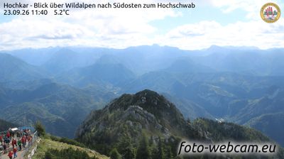
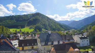
Otevřené vleky: 0/8
Sněhová zpráva
- Posledních 24h: 0 cm
- Posledních 72h: 0 cm
- Posledních 7 dní: 0 cm
- Posledních 7 dní: Údolí 0cm · Střední část 0cm · Vrchol 0cm
- Sezónní úhrn: 0 cm
Lyžařská střediska otevřená právě teď · Sněhová zpráva
About Hochkar – Göstling
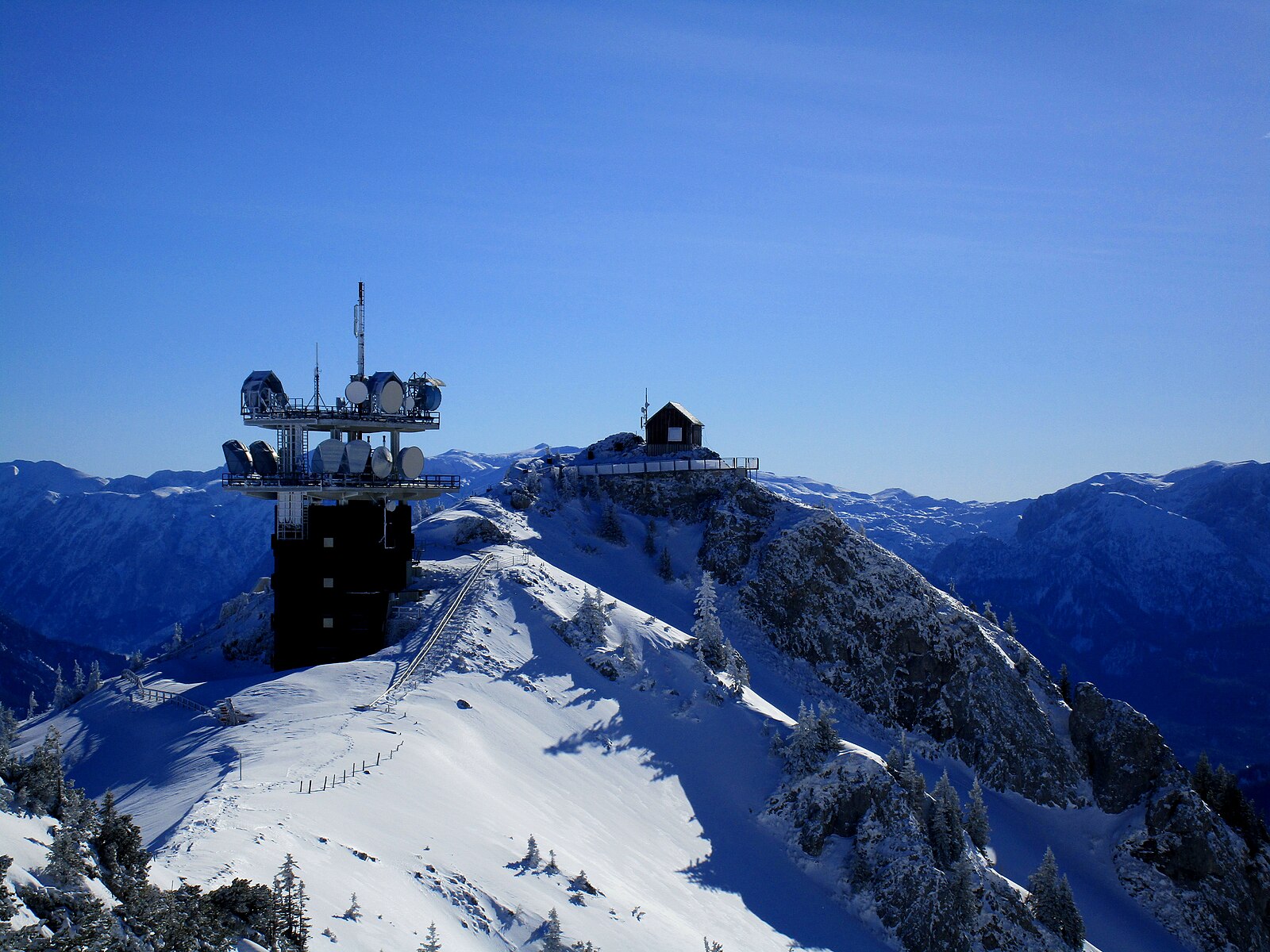
Lower Austria's rugged high-altitude stronghold, prized by locals for its reliable snow pocket and steep, limestone-shadowed terrain.
Highlights
- Reliable snow hole
- Technical freeride bowls
- Limestone karst scenery
- Authentic alpine huts
Key Facts
- Altitude: 1479m
- Top lift: 1808m
- Ski pistes: 19km
- Ski lifts: 8
- Population: 2,040
- Lakes nearby: 3
- MTB trails: 93.6km
- Mountain huts: 8
Ski Area
Weather and 10-day forecast for Hochkar – Göstling
- Today: 3 to 8 °C, partly cloudy, 4 h of sunshine
- Freezing level today: about 2626 m (1890 to 3350 m)
| Day | Min / max | Sky | Precipitation | Sunshine |
|---|---|---|---|---|
| pá 25. 9. | 3 / 8 °C | partly cloudy | dry | 4 h sun |
| so 26. 9. | 6 / 15 °C | clear sky | dry | 12 h sun |
| ne 27. 9. | 10 / 18 °C | clear sky | dry | 12 h sun |
| po 28. 9. | 8 / 19 °C | clear sky | dry | 7 h sun |
| út 29. 9. | 9 / 16 °C | clear sky | dry | 9 h sun |
| st 30. 9. | 8 / 13 °C | clear sky | dry | 11 h sun |
| čt 1. 10. | 6 / 15 °C | clear sky | dry | 12 h sun |
| pá 2. 10. | 6 / 12 °C | partly cloudy | dry | 11 h sun |
| so 3. 10. | 4 / 14 °C | overcast | dry | 11 h sun |
| ne 4. 10. | 5 / 13 °C | overcast | dry | 10 h sun |
Things to do in Hochkar – Göstling
Hikes nearby — Hochkar – Göstling (12)
12 curated hiking trails around Hochkar – Göstling, sourced from OpenStreetMap and enriched with distance, elevation gain and difficulty.
-
Luchs Trail Etappe 9
-
Luchs Trail Etappe 10
-
Niederösterreichischer Alpinweg
-
Wasserlochklamm
Over 900 metres, the gorge climbs 325 vertical metres through roaring waterfalls and narrow canyons, culminating at a water hole — with a suspension bridge strung across the void along the way.
-
Wanderweg 96
Eisenerzer Höhe - Großer Geiger
-
Wanderweg 288
Wildalpen - Krumpen - Hühnermauer - Rumpel - Klaus - Tremel
-
Wanderweg 289a
-
Eulenweg
Der Eulenerlebnisweg am Rande des Wildnisgebietes
-
Wanderweg 91
-
Luchs Trail
Durch Österreichs wilde Mitte
-
Luchs Trail Etappe 11
-
GeoPfad
Mountain biking near Hochkar – Göstling
- Sonnbrand-Almtour Hollenstein
- Sonnbrand-Almtour Göstling
- Trans Nationalpark - Etappe 5
Getting to Hochkar – Göstling
Door-to-door travel times as used by the MR. ALPS ranking.
- Nearest airport: Linz-Hörsching Airport (LNZ), 79 km away, about 1h56 by road
- Graz: 2h11 by car, 130 km
- Wien: 2h31 by car, 176 km
- München: 4h20 by car, 341 km
- Innsbruck: 4h58 by car, 396 km
- Nürnberg: 5h02 by car, 436 km
- Padova: 6h23 by car, 518 km
Where to stay in Hochkar – Göstling
36 places to stay for a night on 2026-09-25, from 134 EUR per night, median 227 EUR. Prices are direct with hotels and destinations, compared live on the Hochkar – Göstling page.