Gryon
Živá webkamera
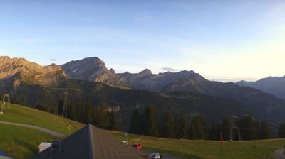
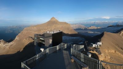


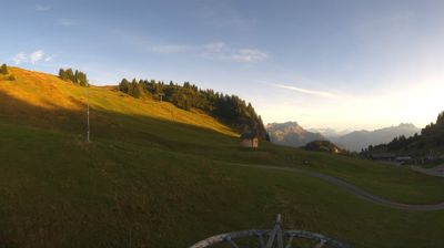

Otevřené vleky: 0/30
Sněhová zpráva
- Posledních 24h: 0 cm
- Posledních 72h: 0 cm
- Posledních 7 dní: 0 cm
- Posledních 7 dní: Údolí 0cm · Střední část 0cm · Vrchol 0cm
- Sezónní úhrn: 0 cm
Lyžařská střediska otevřená právě teď · Sněhová zpráva
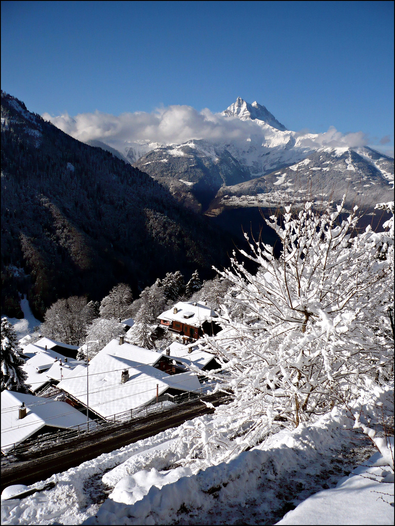
About Gryon
A rustic, sun-drenched balcony in the Vaud Alps where wood-shingled chalets and a slow-paced local life offer a quiet escape from the crowds.
Highlights
- Rustic chalet architecture
- South-facing sun terraces
- Family-oriented atmosphere
- Traditional Vaudois charm
Key Facts
- Altitude: 1196m
- Top lift: 2120m
- Ski pistes: 84km
- Ski lifts: 25
- Population: 1,519
- Lakes nearby: 12
- MTB trails: 283.6km
- Mountain huts: 27
Ski Area
Zahrnuto v těchto sezonních permanentkách
Weather and 10-day forecast for Gryon
- Today: 5 to 14 °C, clear sky, 12 h of sunshine
- Freezing level today: about 4132 m (3840 to 4440 m)
| Day | Min / max | Sky | Precipitation | Sunshine |
|---|---|---|---|---|
| st 23. 9. | 5 / 14 °C | clear sky | dry | 12 h sun |
| čt 24. 9. | 7 / 15 °C | overcast | dry | 3 h sun |
| pá 25. 9. | 6 / 15 °C | partly cloudy | dry | 7 h sun |
| so 26. 9. | 10 / 18 °C | clear sky | dry | 12 h sun |
| ne 27. 9. | 11 / 19 °C | clear sky | dry | 12 h sun |
| po 28. 9. | 12 / 20 °C | clear sky | dry | 9 h sun |
| út 29. 9. | 9 / 21 °C | clear sky | dry | 12 h sun |
| st 30. 9. | 9 / 20 °C | partly cloudy | dry | 7 h sun |
| čt 1. 10. | 5 / 11 °C | rain showers | dry | 0 h sun |
| pá 2. 10. | 1 / 5 °C | rain showers | dry | 0 h sun |
Things to do in Gryon
Hikes nearby — Gryon (20)
20+ curated hiking trails around Gryon, sourced from OpenStreetMap and enriched with distance, elevation gain and difficulty.
-
Sentier du Sel
Sentier du Sel — „stezka bílého zlata" — se vine u paty Vaudských Alp přes osady, lesy, louky a vinice a sleduje historii těžby soli. Přibližně 30 minut od výchozího bodu trasy v Plambuit leží vesnice Salins, která označuje místo, kde byl v 15. století objeven první slaný pramen, a trasa kopíruje původní potrubí ze dřeva modřínu, jímž byla tato voda kdysi sváděna dolů do údolí.
-
Via Alpina Stage 77: Anzeinde - Col du Demècre
-
Tour des Alpes Vaudoises Étape 7
-
Tour des Alpes Vaudoises Étape 8
This final segment of the Tour des Alpes Vaudoises skirts the Vaud vineyards before arriving at the Bex saltworks, a vast maze of galleries.
-
Tour des Alpes Vaudoises Étape 6
The route crosses the historic Trechadèze, where violent clashes erupted in 1978 between the Ormonans and the Vaud republic, before climbing to the Col de la Croix, where centuries of erosion have carved gypsum pyramids into striking geological formations.
-
Tour des Muverans
Vícedenní okruh obcházející masiv Grand Muveran na hranici kantonů Vaud a Valais začíná v Pont-de-Nant a v prvním úseku prochází přes Derborence.
-
Chemin des Vignes
-
Via Alpina Stage 76: Auberge du Godey - Anzeinde
-
Tour des Alpes Vaudoises Étape 1
-
Tour de l'Argentine
-
Prafandaz - fixme
-
Prafandaz - fixme
-
Luan-Ai
-
Tour des Deux Rives
-
Sentier de découverte géographique
-
Tour des Alpes Vaudoises: Villars-sur-Ollon, gare - Gryon
-
Tour des Alpes Vaudoises: Gryon - Aigle
-
ViaFrancigena: Aigle - St-Maurice
-
Tour de L’Argentine
-
Tour des Alpes Vaudoises: Les Diablerets - Villars-sur-Ollon, gare
Mountain biking near Gryon
- Alpes de la Région du Léman Bike (Stage 2, Les Diablerets - Bex)
- Alpine Bike
- Bretaye - Les Chaux - Solalex - Lavey
- Bretaye-Ollon Bike
- Taveyanne-Solalex Bike
- Barboleuse - Solalex - Barboleuse
- Les Chaux - Taveyanne - Barboleuse
- Les Chaux-Barboleuse
Getting to Gryon
Door-to-door travel times as used by the MR. ALPS ranking.
- Nearest airport: Geneva International Airport (GVA), 74 km away, about 1h48 by road
- Lausanne: 56 min by car, 66 km
- Bern: 1h32 by car, 123 km
- Genève: 1h35 by car, 128 km
- Biel/Bienne: 2h by car, 162 km
- Annecy: 2h08 by car, 170 km
- Chambéry: 2h33 by car, 214 km
Where to stay in Gryon
171 places to stay for a night on 2026-09-25, from 158 EUR per night, median 421 EUR. Prices are direct with hotels and destinations, compared live on the Gryon page.