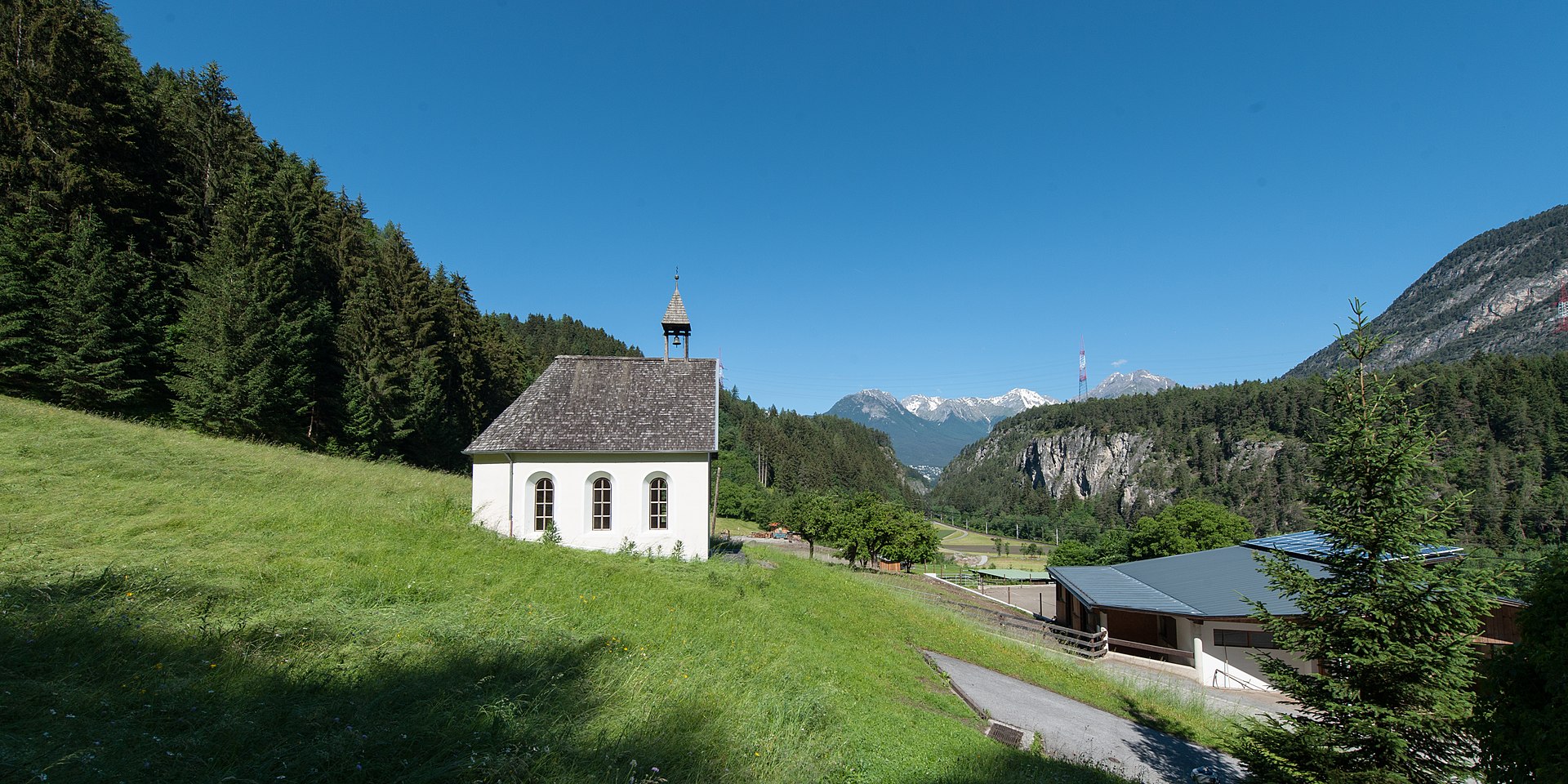
Galtwiesen – Wald im Pitztal
Živá webkamera
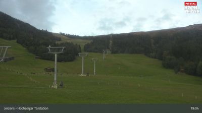
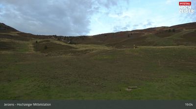
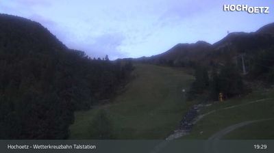
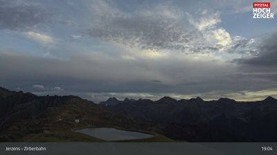
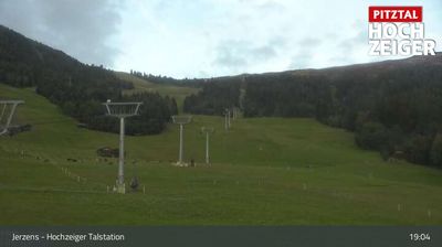
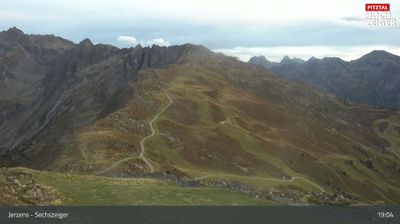
Otevřené vleky: 0%
Sněhová zpráva
- Posledních 24h: 0 cm
- Posledních 72h: 0 cm
- Posledních 7 dní: 0 cm
- Posledních 7 dní: Údolí 0cm · Střední část 0cm · Vrchol 0cm
- Sezónní úhrn: 0 cm
Lyžařská střediska otevřená právě teď · Sněhová zpráva
About Galtwiesen – Wald im Pitztal
A secluded Tyrolean hamlet where deep valley traditions meet a quiet, understated gateway to the high-alpine Pitztal wilderness.
Highlights
- Rustic farm architecture
- Off-grid tranquility
- Traditional Tyrolean charm
- Backcountry access
Key Facts
- Altitude: 1148m
- Top lift: 1280m
- Ski pistes: 1km
- Ski lifts: 1
- Lakes nearby: 16
- MTB trails: 257km
- Mountain huts: 30
Ski Area
Weather and 10-day forecast for Galtwiesen – Wald im Pitztal
- Today: 4 to 19 °C, clear sky, 12 h of sunshine
- Freezing level today: about 3616 m (3150 to 3840 m)
| Day | Min / max | Sky | Precipitation | Sunshine |
|---|---|---|---|---|
| st 23. 9. | 4 / 19 °C | clear sky | dry | 12 h sun |
| čt 24. 9. | 8 / 17 °C | overcast | dry | 1 h sun |
| pá 25. 9. | 5 / 17 °C | clear sky | dry | 11 h sun |
| so 26. 9. | 10 / 21 °C | clear sky | dry | 12 h sun |
| ne 27. 9. | 10 / 23 °C | clear sky | dry | 12 h sun |
| po 28. 9. | 12 / 23 °C | clear sky | dry | 12 h sun |
| út 29. 9. | 13 / 25 °C | clear sky | dry | 12 h sun |
| st 30. 9. | 13 / 24 °C | clear sky | dry | 11 h sun |
| čt 1. 10. | 9 / 21 °C | drizzle | dry | 1 h sun |
| pá 2. 10. | 7 / 12 °C | drizzle | dry | 0 h sun |
Things to do in Galtwiesen – Wald im Pitztal
Hikes nearby — Galtwiesen – Wald im Pitztal (15)
15 curated hiking trails around Galtwiesen – Wald im Pitztal, sourced from OpenStreetMap and enriched with distance, elevation gain and difficulty.
-
AV Weg 915
-
Via Alpina Yellow B35
The trail descends beside the glacier tongue of the Mittelbergferner and the roaring Pitze river, leaving the world of glaciers behind. From the valley, a Postbus carries walkers along the Pitztal back into civilisation.
-
Ötztal Trek Etappe 21
Frischmannhütte → Erlanger Hütte
-
Wanderweg 911 - Geigenkammhöhenweg
-
Wanderweg zur Leiner Alm.
The trail climbs from the hamlet of Krabichl, between Leins and Wald, along a forest road past the Hilterbodenkapelle before rising on a footpath to the Leiner Alm at 1836 m — a scenic alpine pasture in the Hochzeiger area of the Pitztal. From the alm, views stretch as far as Imst.
-
Europäischer Fernwanderweg E5, Österreich Tirol
Der Europäische Fernwanderweg E5 ist ein Europäischer Fernwanderweg, der von der Atlantikküste Frankreichs in der Bretagne über die Alpen nach Verona in Italien führt. Insgesamt ist der Fernwanderweg 4120 Kilometer lang.
-
Ötztal Trek Etappe 22
Erlanger Hütte → Ötz Bahnhof
-
Ötztal Trek Etappe 20
Hauerseehütte → Frischmannhütte
-
Ötztaler Urweg
-
Frischmannhütte - Fundusfeiler
-
Frischmannhütte - Felderjöchl
-
Köfels - Frischmannhütte
-
Scharte - Frischmannhütte
-
Umhausen - Frischmannhütte
-
Winklen - Köfels
Mountain biking near Galtwiesen – Wald im Pitztal
- Pitztal Bike
- Kalbenalm - Sechszeiger
- Tanzalm
- Stalderhütte - Hochzeigerhaus
- Kaunertal-Falkaunsalm
- Söllbergalm
- Lehnerjoch
- Family Trail
Getting to Galtwiesen – Wald im Pitztal
Door-to-door travel times as used by the MR. ALPS ranking.
- Nearest airport: Innsbruck Airport (INN), 45 km away, about 53 min by road
- Innsbruck: 51 min by car, 60 km
- München: 2h13 by car, 153 km
- Bolzano - Bozen: 2h14 by car, 172 km
- Trento: 2h45 by car, 228 km
- Zürich: 3h05 by car, 242 km
- Luzern: 3h26 by car, 259 km
Where to stay in Galtwiesen – Wald im Pitztal
200 places to stay for a night on 2026-09-25, from 112 EUR per night, median 260 EUR. Prices are direct with hotels and destinations, compared live on the Galtwiesen – Wald im Pitztal page.