Funes (Villnöss)
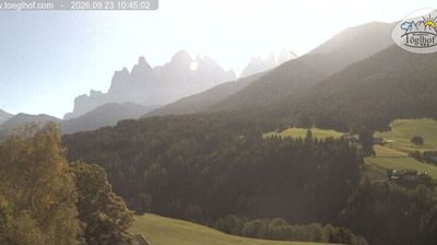
Živá webkamera
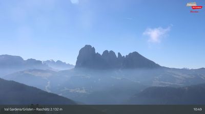
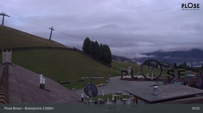
Otevřené vleky: 0%
Sněhová zpráva
- Posledních 24h: 0 cm
- Posledních 72h: 0 cm
- Posledních 7 dní: 0 cm
- Posledních 7 dní: Údolí 0cm · Střední část 0cm · Vrchol 0cm
- Sezónní úhrn: 0 cm
Lyžařská střediska otevřená právě teď · Sněhová zpráva
About Funes (Villnöss)
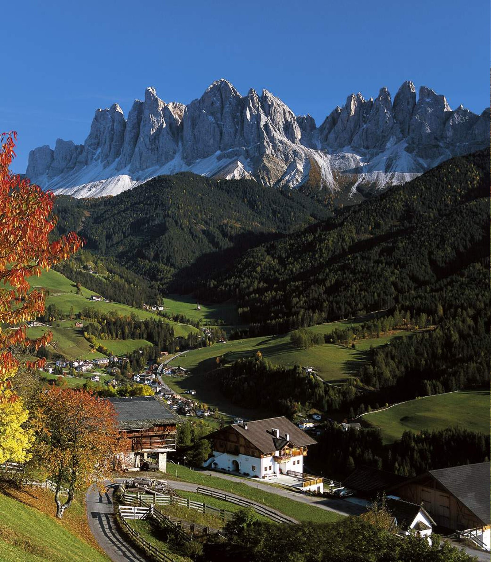
A quiet South Tyrolean valley where jagged dolomite spires frame the most photographed tiny chapels in the Alps.
Highlights
- Iconic onion-dome chapels
- Odle mountain backdrop
- Slow-paced Ladin culture
- Pristine hiking trails
Key Facts
- Altitude: 1176m
- Top lift: 1498m
- Ski pistes: 1km
- Ski lifts: 1
- Population: 2,570
- Lakes nearby: 4
- MTB trails: 166km
- Mountain huts: 15
Ski Area
Weather and 10-day forecast for Funes (Villnöss)
- Today: 6 to 16 °C, overcast, 1 h of sunshine
- Freezing level today: about 3238 m (2580 to 3750 m)
| Day | Min / max | Sky | Precipitation | Sunshine |
|---|---|---|---|---|
| čt 24. 9. | 6 / 16 °C | overcast | dry | 1 h sun |
| pá 25. 9. | 4 / 15 °C | clear sky | dry | 12 h sun |
| so 26. 9. | 6 / 17 °C | clear sky | dry | 12 h sun |
| ne 27. 9. | 10 / 18 °C | clear sky | dry | 12 h sun |
| po 28. 9. | 11 / 20 °C | clear sky | dry | 11 h sun |
| út 29. 9. | 11 / 19 °C | clear sky | dry | 11 h sun |
| st 30. 9. | 12 / 18 °C | partly cloudy | dry | 6 h sun |
| čt 1. 10. | 11 / 18 °C | clear sky | dry | 10 h sun |
| pá 2. 10. | 8 / 18 °C | overcast | dry | 2 h sun |
| so 3. 10. | 4 / 19 °C | clear sky | dry | 11 h sun |
Things to do in Funes (Villnöss)
Hikes nearby — Funes (Villnöss) (20)
20+ curated hiking trails around Funes (Villnöss), sourced from OpenStreetMap and enriched with distance, elevation gain and difficulty.
-
7 - Gablersteig
Brixen - Maria Im Sand (640 m) - St. Andrä Sant Andrea in Monte - Mellaun Meluno - St. Jakob (1348 m) - St. Georg in Afers S. Georgio di Eores - Plosehütte (2450 m) - Lüsner Scharte (2380 m) - Gabler (2579 m) - Gablerbiwak (2570 m)
-
Dolomites World Heritage Geotrail 11
-
Bergbauernweg
Starting from St. Peter at 1,150 metres, the Bergbauernweg threads through a gentle cultural landscape of meadows and historic Tirolean farmsteads, with the jagged needles of the Odle peaks as a constant backdrop.
-
Sunnseitenweg
-
Jakobsweg Neustift => Villanders - Cammino di San Giacomo Novacella => Villandro
Neustift > Brixen > Feldthurns > Klausen > Villanders - Novacella > Bressanone > Velturno > Chiusa > Villandro
-
Jakobsweg Klausen - Cammino di San Giacomo Chiusa
Neustift - Novacella => Klausen - Chiusa
-
7 - Gratschenbergrunde
-
Albeins-Teis-Nafen - Albes-Tiso-Nave
-
Troi Paian
-
Albeins-Klerant-Milland - Albes-Cleran-Millan
-
Weinweg - Sentiero del vino
-
Poststeig
-
Panoramaweg
-
Birmehlweg - Sentiero Birmehl
-
Mitterweg
-
16 - Brixen => Neustift
-
18 - Schalders => Radlseehütte
-
Adolf Munkel Weg - Via delle Odle
-
1 - Brixen => Natz => Rodeneck => Lüsen => AV2
-
3B - Lüsen
Mountain biking near Funes (Villnöss)
- Jerry Line
- Sadebach
- Palm Pro Line
- Hammer Line
- Panoramaweg
Getting to Funes (Villnöss)
Door-to-door travel times as used by the MR. ALPS ranking.
- Nearest airport: Bolzano Airport (BZO), 34 km away, about 46 min by road
- Bolzano - Bozen: 40 min by car, 43 km
- Trento: 1h11 by car, 99 km
- Innsbruck: 1h25 by car, 101 km
- Verona: 2h09 by car, 194 km
- Brescia: 2h39 by car, 230 km
- Padova: 2h53 by car, 273 km
Where to stay in Funes (Villnöss)
200 places to stay for a night on 2026-09-25, from 306 EUR per night, median 706 EUR. Prices are direct with hotels and destinations, compared live on the Funes (Villnöss) page.