Fiescheralp
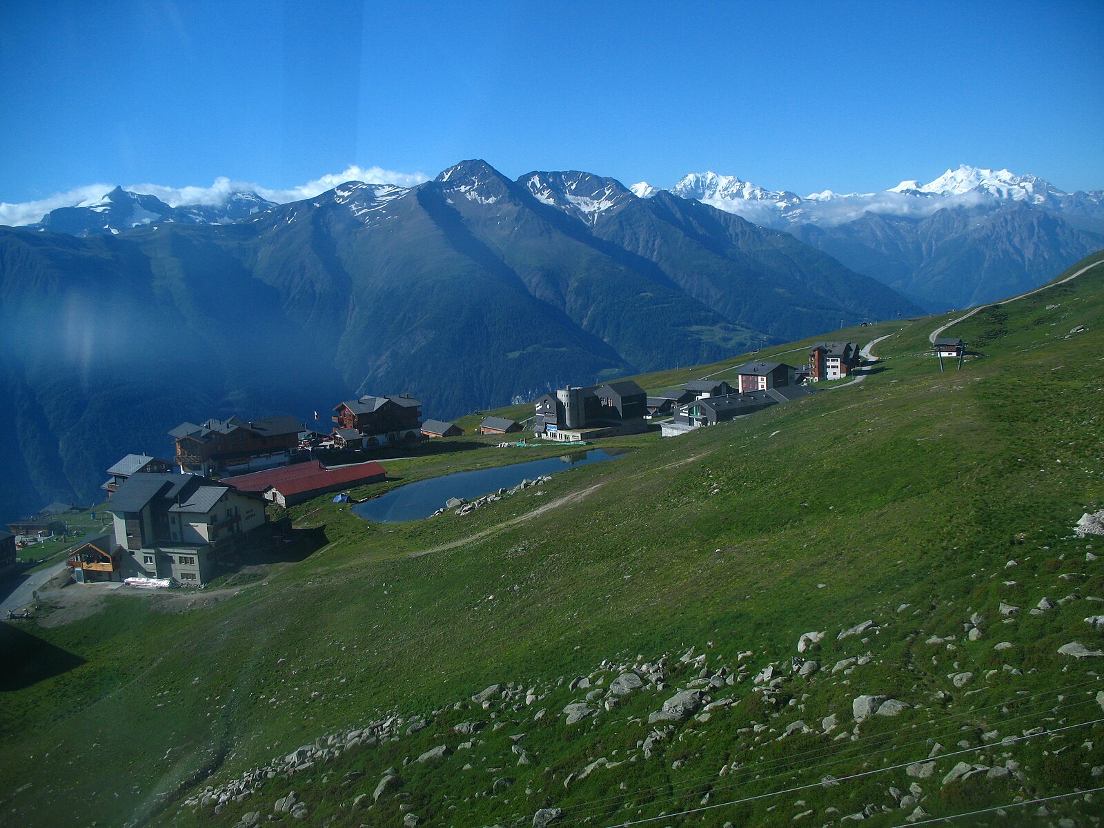
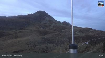
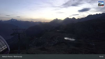
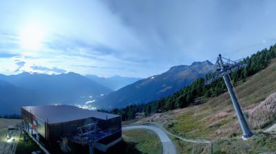
Živá webkamera
Otevřené vleky: 0/35
Sněhová zpráva
- Posledních 24h: 0 cm
- Posledních 72h: 0 cm
- Posledních 7 dní: 0 cm
- Posledních 7 dní: Údolí 0cm · Střední část 0cm · Vrchol 0cm
- Sezónní úhrn: 0 cm
Lyžařská střediska otevřená právě teď · Sněhová zpráva
About Fiescheralp
A high-altitude sun terrace offering direct access to the Aletsch Glacier's icy expanse and elite paragliding launch sites.
Highlights
- Glacier panoramas
- Car-free tranquility
- Elite paragliding
- Ski-in access
Key Facts
- Altitude: 1090m
- Top lift: 2869m
- Ski pistes: 104km
- Ski lifts: 35
- 4000m+ peaks nearby: 5
- Lakes nearby: 20
- MTB trails: 132.9km
- Mountain huts: 12
Ski Area
Zahrnuto v těchto sezonních permanentkách
Weather and 10-day forecast for Fiescheralp
- Today: 8 to 21 °C, clear sky, 9 h of sunshine
- Freezing level today: about 4157 m (3610 to 4440 m)
| Day | Min / max | Sky | Precipitation | Sunshine |
|---|---|---|---|---|
| pá 25. 9. | 8 / 21 °C | clear sky | dry | 9 h sun |
| so 26. 9. | 9 / 23 °C | clear sky | dry | 12 h sun |
| ne 27. 9. | 10 / 21 °C | clear sky | dry | 12 h sun |
| po 28. 9. | 12 / 22 °C | clear sky | dry | 12 h sun |
| út 29. 9. | 11 / 21 °C | partly cloudy | dry | 5 h sun |
| st 30. 9. | 11 / 25 °C | mainly clear | dry | 7 h sun |
| čt 1. 10. | 12 / 19 °C | partly cloudy | dry | 3 h sun |
| pá 2. 10. | 12 / 20 °C | overcast | dry | 11 h sun |
| so 3. 10. | 12 / 16 °C | overcast | dry | 11 h sun |
| ne 4. 10. | 11 / 15 °C | drizzle | 2 mm rain | 10 h sun |
Things to do in Fiescheralp
Hikes nearby — Fiescheralp (20)
20+ curated hiking trails around Fiescheralp, sourced from OpenStreetMap and enriched with distance, elevation gain and difficulty.
-
14a-Sentiero dei passi alpini
-
Rottenweg
The Rottenweg traces the young Rhone — locally called the Rotten — along the floor of Obergoms, threading from village to village across wide meadows and through bright forests. The route runs the full length of Obergoms from Oberwald to Niederwald, keeping to practically flat ground the entire way.
-
Aletsch Panoramaweg
A high-altitude ridge walk above the Great Aletsch Glacier — the largest glacier in the Alps, stretching 23 kilometres — the Panoramaweg runs from Bettmerhorn down to Fiescheralp, keeping the glacier's massive ice surface and surrounding 4,000-metre peaks in constant view.
-
Fiesch - Fiescheralp
-
Ernen - Lax
The route descends roughly 1,000 metres via serpentines, rewarding walkers with sweeping views of the Matterhorn and more than 40 four-thousanders along the way.
-
Fiesch - Lax
The trail follows the Laggeraweg, a flat path along the slope that alternates between deciduous and coniferous forests, rocky terrain, and sunny and shady sections, with repeated views of the villages of Fiesch and Ernen. Its quiet highlight is a disused Suone — an old Valais irrigation canal — that runs partly along the route.
-
Ernen - Ausserbinn
-
Fiesch - Zum Holz - Lax
-
Ernen - Kalkofen
-
Fiesch - Bärg
-
Ausserbinn-Ernen
-
Suonenweg Trusera
-
Gogwärgiweg
-
Wasen - Hockmatten
-
Fiesch - Bellwald
-
Niederernen - Seng
-
Aletsch Panoramaweg: _ - Märjela Gletscherstube
-
Aletsch Panoramaweg: Märjela Gletscherstube - Bellwald
-
Aletschgletscher Aussichtsweg
-
Binntal Schaplersee-Weg
Mountain biking near Fiescheralp
- Riederalp - Bettmeralp - Martisberg round trip
- Fiescheralp - Märjela
- Flowtrail Wurzenbord
Getting to Fiescheralp
Door-to-door travel times as used by the MR. ALPS ranking.
- Nearest airport: Milan Malpensa International Airport (MXP), 97 km away, about 2h32 by road
- Luzern: 2h05 by car, 135 km
- Lausanne: 2h10 by car, 168 km
- Bern: 2h22 by train, 121 km
- Zürich: 2h35 by car, 172 km
- Biel/Bienne: 2h40 by train, 154 km
- Genève: 2h49 by car, 230 km
Where to stay in Fiescheralp
200 places to stay for a night on 2026-09-25, from 159 EUR per night, median 249 EUR. Prices are direct with hotels and destinations, compared live on the Fiescheralp page.