Elm im Sernftal
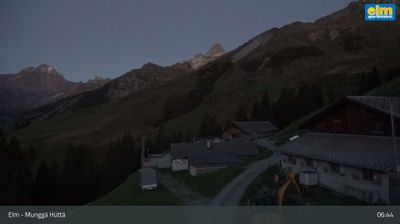
Živá webkamera



Otevřené vleky: 0/5
Sněhová zpráva
- Posledních 24h: 0 cm
- Posledních 72h: 0 cm
- Posledních 7 dní: 0 cm
- Posledních 7 dní: Údolí 0cm · Střední část 0cm · Vrchol 0cm
- Sezónní úhrn: 9.9 cm
Lyžařská střediska otevřená právě teď · Sněhová zpráva
About Elm im Sernftal
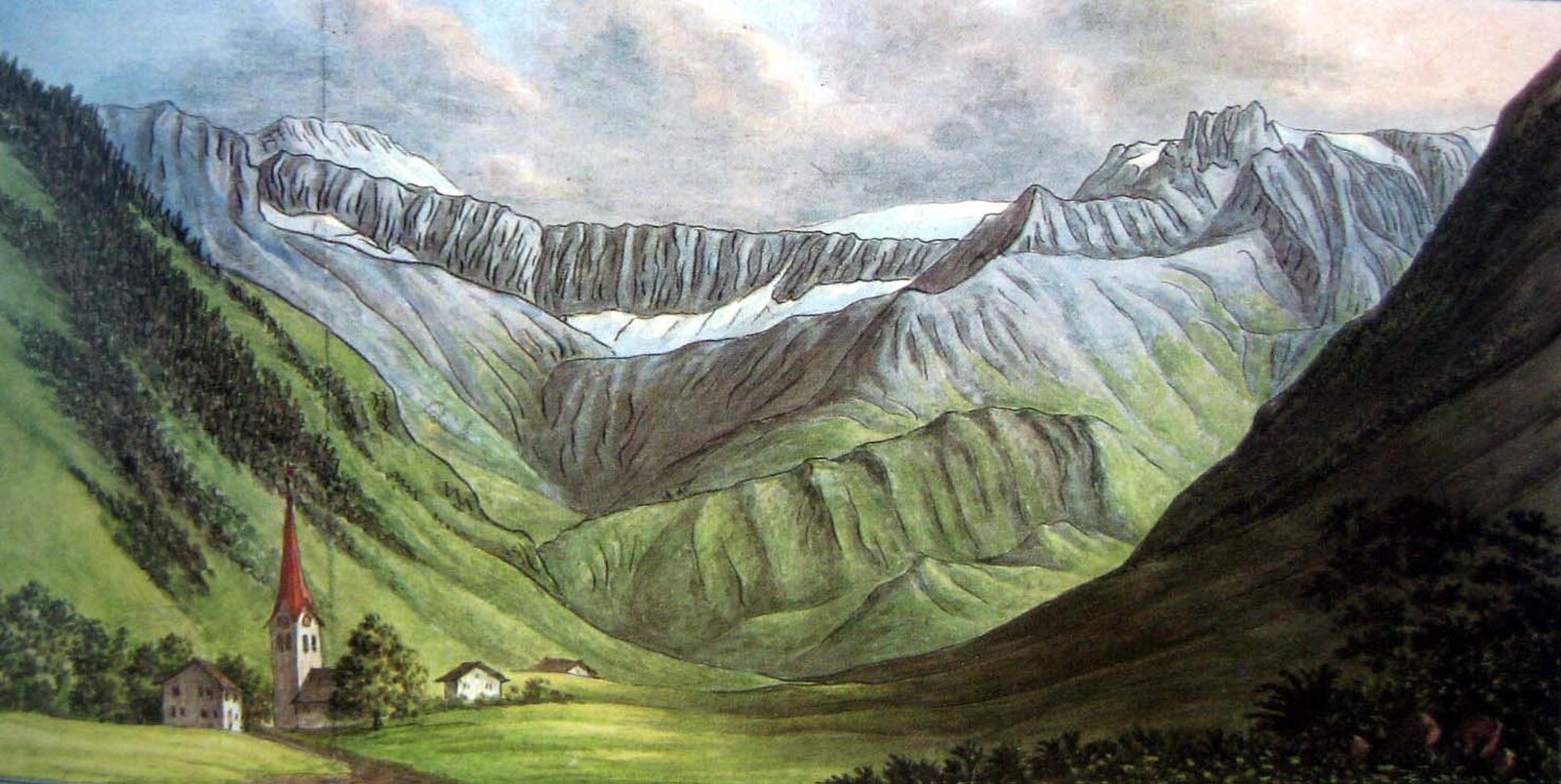
A secluded Glarus hideaway defined by its geological wonders and a quiet, unpretentious devotion to Swiss mountain heritage.
Highlights
- Martinsloch sun phenomenon
- UNESCO tectonic landscapes
- Traditional wooden architecture
- Family-run hospitality
Key Facts
- Altitude: 975m
- Top lift: 2105m
- Ski pistes: 40km
- Ski lifts: 5
- Population: 626
- Lakes nearby: 21
- MTB trails: 122.9km
- Mountain huts: 27
Ski Area
Zahrnuto v těchto sezonních permanentkách
Weather and 10-day forecast for Elm im Sernftal
- Today: 6 to 16 °C, clear sky, 12 h of sunshine
- Freezing level today: about 3785 m (3580 to 3920 m)
| Day | Min / max | Sky | Precipitation | Sunshine |
|---|---|---|---|---|
| st 23. 9. | 6 / 16 °C | clear sky | dry | 12 h sun |
| čt 24. 9. | 8 / 14 °C | overcast | dry | 4 h sun |
| pá 25. 9. | 6 / 15 °C | clear sky | dry | 9 h sun |
| so 26. 9. | 10 / 18 °C | clear sky | dry | 12 h sun |
| ne 27. 9. | 11 / 20 °C | clear sky | dry | 12 h sun |
| po 28. 9. | 13 / 22 °C | clear sky | dry | 12 h sun |
| út 29. 9. | 10 / 22 °C | clear sky | dry | 12 h sun |
| st 30. 9. | 11 / 20 °C | clear sky | dry | 12 h sun |
| čt 1. 10. | 7 / 15 °C | drizzle | dry | 0 h sun |
| pá 2. 10. | 3 / 6 °C | snow showers | dry | 0 h sun |
Things to do in Elm im Sernftal
Hikes nearby — Elm im Sernftal (20)
20+ curated hiking trails around Elm im Sernftal, sourced from OpenStreetMap and enriched with distance, elevation gain and difficulty.
-
ViaSuworow
This stage of the ViaSuworow follows the route of Suvorov's retreating Russian troops, who marched southward through snowfall with the French in pursuit in October 1799. The path runs alongside the river Linth to Schwanden, then traces the river Sernf — partly above it, partly along its banks — through the villages of Engi and Matt before reaching Elm in the Sernftal valley.
-
ViaSuworow
-
Via Glaralpina
-
Via Glaralpina
-
Via Alpina
-
Via Glaralpina
-
Elm Höhenweg
-
Via Alpina
The route from Weisstannen to Elm passes through Alp Siez and crosses the Foopass, with the high section only becoming passable after the winter snowpack melts. Along the way, walkers follow a Steinbock-Lehrpfad (ibex nature trail) beside the Seez river, with stops at remote alpine farms including Alp Raminer Matter and Bäsebeiz Walabütz.
-
Sardona-Welterbe-Weg Etappe 6
The route crosses the Segnespass at 2,625 metres, where geological phenomena of the UNESCO World Heritage Tectonic Arena Sardona can be examined at close range. Along the way, the boggy moorland of the Segnasboden gives way to thundering waterfalls, deep gorges, boldly engineered bridges, and wild forest.
-
Sardona-Welterbe-Weg Etappe 5
-
Via Glaralpina
-
Chärpfbrugg Rundweg
-
Sardona-Welterbe-Weg Etappe 2
-
Sardona-Welterbe-Weg Etappe 3
-
Trutg dil Flem – Flimser Wasserweg
-
Elm-Höhenweg
-
Weissenberge-Rundweg
-
Kärpfbrugg-Rundweg
-
Sardona-Welterbe-Weg: Elm Station - Flims Bergbahnen
-
Via Alpina: Elm Station - Linthal
Mountain biking near Elm im Sernftal
- Vorab Trail
- Vorab
- Laaxer Stöckli
Getting to Elm im Sernftal
Door-to-door travel times as used by the MR. ALPS ranking.
- Nearest airport: Zürich Airport (ZRH), 76 km away, about 1h35 by road
- Zürich: 1h18 by car, 90 km
- Luzern: 1h37 by car, 113 km
- Basel: 2h15 by car, 173 km
- Biel/Bienne: 2h41 by car, 211 km
- Bern: 2h42 by car, 212 km
- Innsbruck: 3h31 by car, 256 km