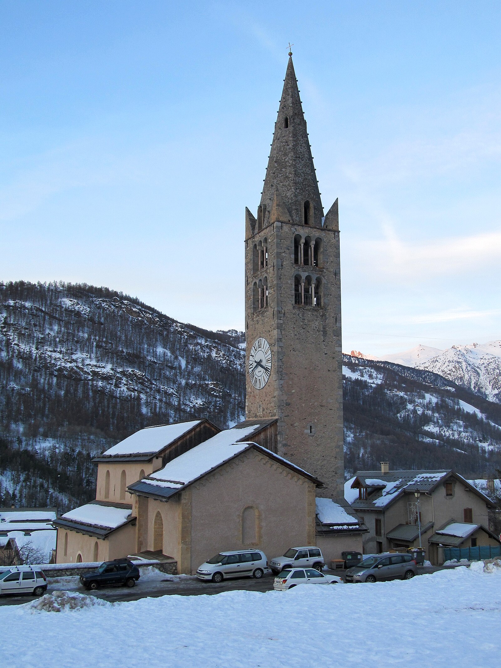
Chantemerle
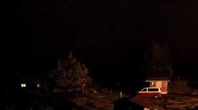
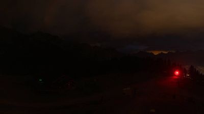
Živá webkamera
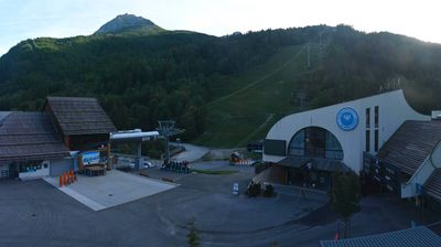

Otevřené vleky: 0/59
Sněhová zpráva
- Posledních 24h: 0 cm
- Posledních 72h: 0 cm
- Posledních 7 dní: 0 cm
- Posledních 7 dní: Údolí 0cm · Střední část 0cm · Vrchol 0cm
- Sezónní úhrn: 4.3 cm
Lyžařská střediska otevřená právě teď · Sněhová zpráva
About Chantemerle
A rustic Serre Chevalier gateway where larch-forested slopes meet a relaxed, unpretentious atmosphere favored by serious French skiers.
Highlights
- Larch forest skiing
- Authentic hamlet charm
- Sunny southern exposure
- Technical valley runs
Key Facts
- Altitude: 1350m
- Top lift: 2800m
- Ski pistes: 250km
- Ski lifts: 59
- Population: 49
- 4000m+ peaks nearby: 2
- Lakes nearby: 11
- MTB trails: 173.4km
- Mountain huts: 13
Ski Area
Serre Chevalier – Briançon/Chantemerle/Villeneuve-la-Salle/Le Monêtier-les-Bains
Zahrnuto v těchto sezonních permanentkách
Weather and 10-day forecast for Chantemerle
- Today: 9 to 19 °C, overcast, 3 h of sunshine
- Freezing level today: about 4221 m (4130 to 4320 m)
| Day | Min / max | Sky | Precipitation | Sunshine |
|---|---|---|---|---|
| čt 24. 9. | 9 / 19 °C | overcast | dry | 3 h sun |
| pá 25. 9. | 10 / 19 °C | clear sky | dry | 9 h sun |
| so 26. 9. | 9 / 20 °C | partly cloudy | dry | 8 h sun |
| ne 27. 9. | 7 / 19 °C | clear sky | dry | 10 h sun |
| po 28. 9. | 6 / 19 °C | clear sky | dry | 11 h sun |
| út 29. 9. | 6 / 20 °C | clear sky | dry | 12 h sun |
| st 30. 9. | 5 / 18 °C | overcast | dry | 1 h sun |
| čt 1. 10. | 6 / 16 °C | drizzle | dry | 4 h sun |
| pá 2. 10. | 6 / 12 °C | drizzle | dry | 4 h sun |
| so 3. 10. | 5 / 14 °C | drizzle | dry | 5 h sun |
Things to do in Chantemerle
Hikes nearby — Chantemerle (20)
20+ curated hiking trails around Chantemerle, sourced from OpenStreetMap and enriched with distance, elevation gain and difficulty.
-
GR 5c
-
Col de Barteaux - ?
The route crosses alpine meadows past a bergerie before reaching the Col de Barteaux at 2382m, then climbs a steep ridge to the Croix de la Cime at 2606m, where an impressive panorama opens over the summits of the Écrins massif.
-
Le Serre Barbin - Pierre Grosse
-
Le Sachet - Petit Col
-
Croix de Toulouse - ?
A steep forest climb past the Fort des Salettes delivers you to the Croix de Toulouse at 1,950 m, a viewpoint in the foothills of the Croix de la Cime that looks out over the Guisane valley, the Durance valley, and the Écrins — all while dominating the town of Briançon below.
-
Via Alpina Red R127
Névache - Le Monêtier-les-Bains
-
Via Alpina Red R128
Le Monêtier-les-Bains - Vallouise
-
Passerelle de Cristol - Porte de Cristol
-
Sente des Grimpeurs - Vallon de la Moulette
-
Route militaire - Route militaire
-
Le lac de l'Eychauda
-
Le Rocher des Chiens - Près du Vallon
-
Col de l'Oule - Point Côte
-
Clot de la Selle - Près du Vallon
-
Cîme des Conchiers - ?
-
Tour du Parc National des Écrins
-
La grande boucle de la Clarée
Un parcours trail technique et exigeant, alternant côtes abruptes, sentiers roulants, single tracks et longue distance.
-
Boucle d'Ailefroide
-
Boucle de Pelvoux
-
Boucle vers Puy Aillaud
Mountain biking near Chantemerle
- La Descente de la Clarée
- Les Balcons de Chantemerle
- Sentier du Canal Neuf
- Chemin de Cristol
- Traverse de Chène
Getting to Chantemerle
Door-to-door travel times as used by the MR. ALPS ranking.
- Nearest airport: Turin Airport (TRN), 88 km away, about 1h56 by road
- Grenoble: 1h52 by car, 110 km
- Torino: 1h52 by car, 116 km
- Chambéry: 2h07 by car, 151 km
- Annecy: 2h39 by car, 198 km
- Lyon: 3h03 by car, 211 km
- Genève: 3h06 by car, 236 km
Where to stay in Chantemerle
118 places to stay for a night on 2026-09-25, from 75 EUR per night, median 122 EUR. Prices are direct with hotels and destinations, compared live on the Chantemerle page.