Brunni – Alpthal
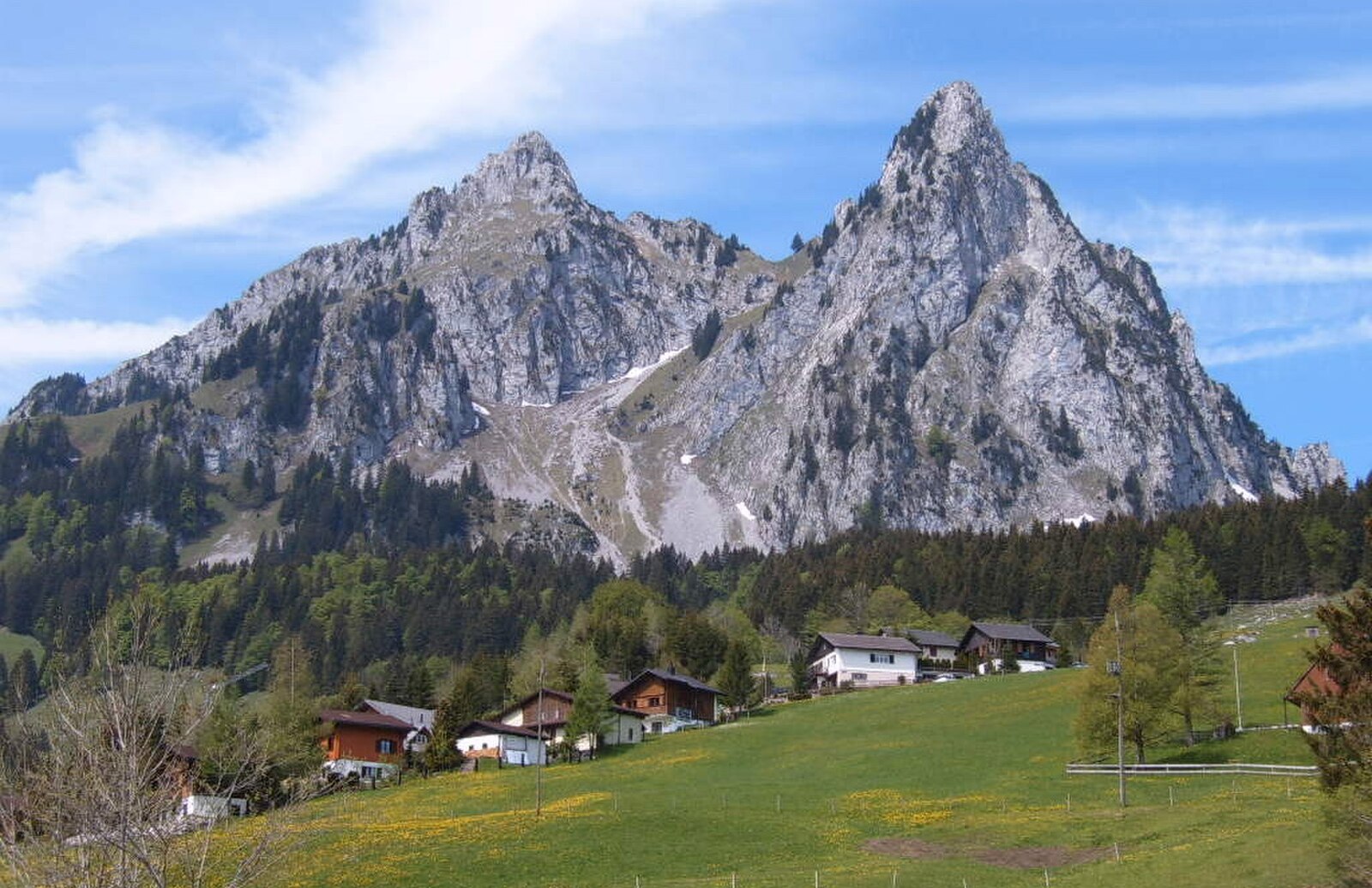
Živá webkamera
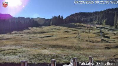
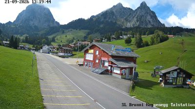
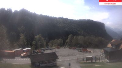
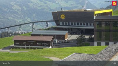
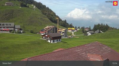
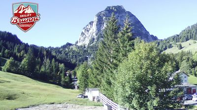
Otevřené vleky: 0%
Sněhová zpráva
- Posledních 24h: 0 cm
- Posledních 72h: 0 cm
- Posledních 7 dní: 0 cm
- Posledních 7 dní: Údolí 0cm · Střední část 0cm · Vrchol 0cm
- Sezónní úhrn: 0 cm
Lyžařská střediska otevřená právě teď · Sněhová zpráva
About Brunni – Alpthal
A family-oriented weekend escape beneath the Mythen peaks, prized for its approachable slopes and authentic local spirit.
Highlights
- Steep limestone backdrops
- Family-friendly terrain
- Traditional mountain huts
- Lucerne day-trip favorite
Key Facts
- Altitude: 1100m
- Top lift: 1200m
- Ski pistes: 1km
- Ski lifts: 1
- Population: 613
- Lakes nearby: 10
- MTB trails: 297.5km
- Mountain huts: 12
Ski Area
Weather and 10-day forecast for Brunni – Alpthal
- Today: 9 to 16 °C, overcast, 2 h of sunshine
- Freezing level today: about 3604 m (3130 to 3940 m)
| Day | Min / max | Sky | Precipitation | Sunshine |
|---|---|---|---|---|
| čt 24. 9. | 9 / 16 °C | overcast | dry | 2 h sun |
| pá 25. 9. | 9 / 17 °C | clear sky | dry | 9 h sun |
| so 26. 9. | 12 / 20 °C | clear sky | dry | 12 h sun |
| ne 27. 9. | 11 / 22 °C | clear sky | dry | 12 h sun |
| po 28. 9. | 12 / 22 °C | clear sky | dry | 12 h sun |
| út 29. 9. | 12 / 23 °C | clear sky | dry | 12 h sun |
| st 30. 9. | 14 / 21 °C | clear sky | dry | 12 h sun |
| čt 1. 10. | 12 / 20 °C | partly cloudy | dry | 6 h sun |
| pá 2. 10. | 10 / 15 °C | drizzle | dry | 0 h sun |
| so 3. 10. | 7 / 15 °C | partly cloudy | dry | 9 h sun |
Things to do in Brunni – Alpthal
Hikes nearby — Brunni – Alpthal (20)
20+ curated hiking trails around Brunni – Alpthal, sourced from OpenStreetMap and enriched with distance, elevation gain and difficulty.
-
Schwyzer Höhenweg - Etappe 4
The route passes the Mostelberg, home to the world's first rotating gondola, and crosses the Raiffeisen-Skywalk, one of the longest suspension bridges in Europe. Along the way, walkers are rewarded with views of the Haggenspitz and the distinctive twin peaks of the Grosse and Kleine Mythen, as well as sweeping panoramas down into the Ägerital.
-
Mäderenweg
-
Sattel Talstation - Mostelberg
-
Alpenpanorama-Weg
-
Panoramaweg Aegerital
-
Weg der Schweiz
Weg der Schweiz ist der Name der Wanderroute 99 entlang des Urnersees. Der Weg wurde 1991 zur 700-Jahr-Feier der Schweiz angelegt. Der Weg beginnt am Rütli und endet in Brunnen, ist 35 km lang und wurde von sämtlichen Schweizer Kantonen gestaltet. Jedem der Kantone wurde ein durch Grenzsteine markierter Wegabschnitt anvertraut, wobei sich dessen Länge nach der Anzahl seiner Einwohner mit 5 Millime
-
Schwyzer Höhenweg - Etappe 3
-
Hasenmatt - Rapperen
-
Morschach - Stoss
-
Bahnhof Sattel Ägeri - Obhegkapelle
-
Rundweg Weidstein
-
Stoos - Fronalpstock
-
Mettlen - Charenstöckli
-
Obhegkapelle - Talacher? / Steinen? - fixme
-
Stoos - Obere Frontalhütte
-
Mythenweg
-
ViaJacobi: Einsiedeln Bahnhof[+Pikto] - Schwyz Hauptplatz
-
Schwyzer Höhenweg: Bahnhof Sattel - Holzegg
-
Schwyzer Höhenweg: Holzegg - Einsiedeln Bahnhof[+Pikto]
-
Ybriger 7-Egg-Weg
Mountain biking near Brunni – Alpthal
- Fronalp Tour
- Panorama Bike - Etappe 6
- Bahnentour Mytehnregion Hoch-Ybrig
- Stoos Tour
- Hoch-Ybrig Bike
- Plattenweg
Getting to Brunni – Alpthal
Door-to-door travel times as used by the MR. ALPS ranking.
- Nearest airport: Zürich Airport (ZRH), 48 km away, about 1h04 by road
- Zürich: 48 min by car, 50 km
- Luzern: 1h04 by car, 68 km
- Basel: 1h46 by car, 133 km
- Biel/Bienne: 2h11 by car, 171 km
- Bern: 2h12 by car, 173 km
- Strasbourg: 3h16 by car, 277 km
Where to stay in Brunni – Alpthal
54 places to stay for a night on 2026-09-25, from 304 EUR per night, median 432 EUR. Prices are direct with hotels and destinations, compared live on the Brunni – Alpthal page.