Bruneck / Brunico
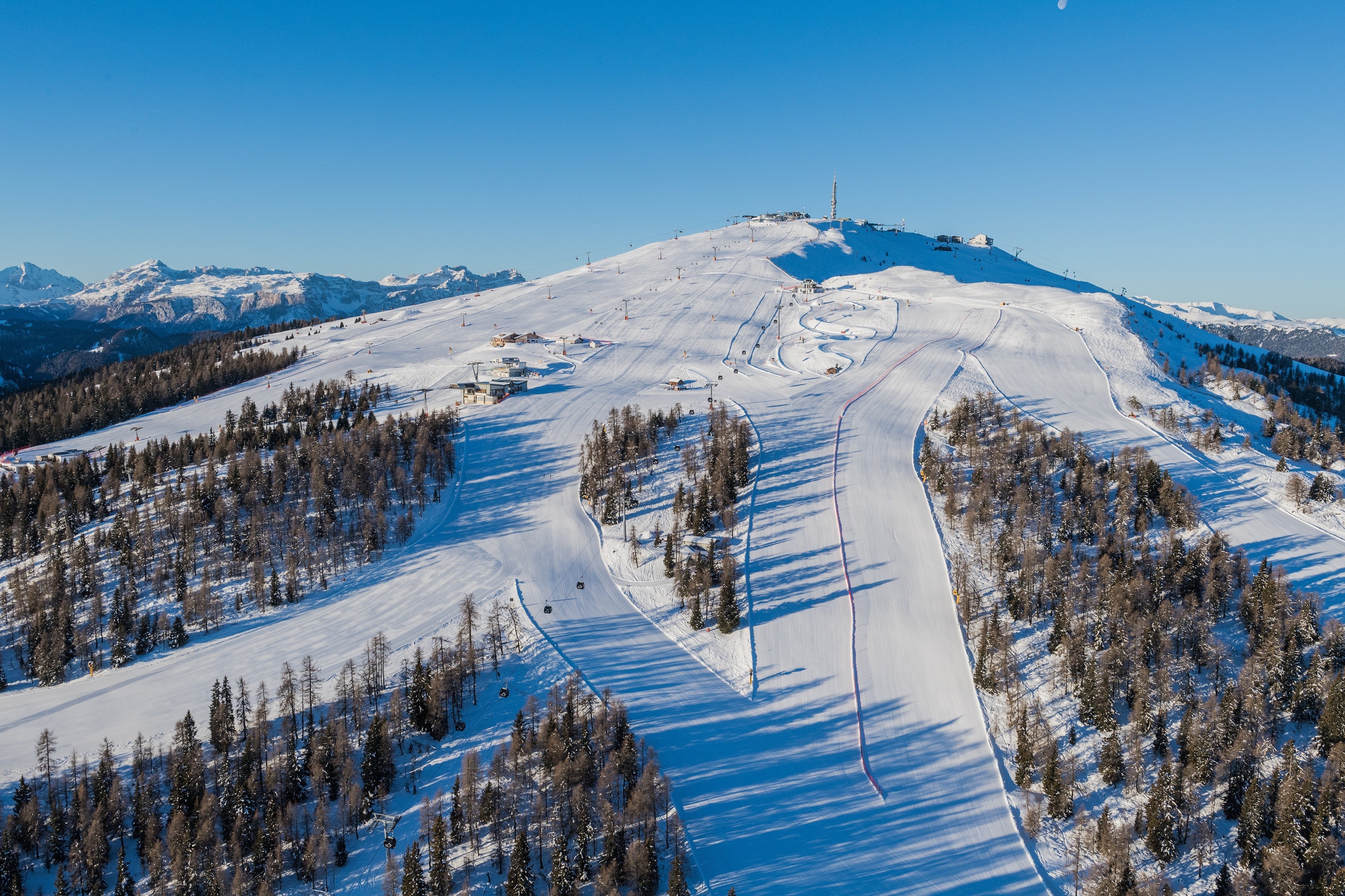
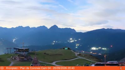
Živá webkamera


Otevřené vleky: 0/32
Sněhová zpráva
- Posledních 24h: 0 cm
- Posledních 72h: 0 cm
- Posledních 7 dní: 0 cm
- Posledních 7 dní: Údolí 0cm · Střední část 0cm · Vrchol 0cm
- Sezónní úhrn: 0 cm
Lyžařská střediska otevřená právě teď · Sněhová zpráva
About Bruneck / Brunico
A vibrant South Tyrolean hub where medieval architecture meets a lively student scene at the foot of the Kronplatz plateau.
Highlights
- Bilingual cultural blend
- Medieval riverside charm
- Sophisticated mountain dining
- Direct gondola access
Key Facts
- Altitude: 973m
- Top lift: 2275m
- Ski pistes: 121km
- Ski lifts: 31
- Population: 17,143
- Lakes nearby: 8
- MTB trails: 116km
- Mountain huts: 4
Ski Area
Zahrnuto v těchto sezonních permanentkách
Weather and 10-day forecast for Bruneck / Brunico
- Today: 1 to 14 °C, clear sky, 12 h of sunshine
- Freezing level today: about 3448 m (2890 to 3670 m)
| Day | Min / max | Sky | Precipitation | Sunshine |
|---|---|---|---|---|
| st 23. 9. | 1 / 14 °C | clear sky | dry | 12 h sun |
| čt 24. 9. | 4 / 16 °C | overcast | dry | 2 h sun |
| pá 25. 9. | 2 / 15 °C | clear sky | dry | 12 h sun |
| so 26. 9. | 5 / 17 °C | clear sky | dry | 11 h sun |
| ne 27. 9. | 7 / 18 °C | clear sky | dry | 12 h sun |
| po 28. 9. | 9 / 19 °C | clear sky | dry | 11 h sun |
| út 29. 9. | 8 / 19 °C | clear sky | dry | 10 h sun |
| st 30. 9. | 8 / 17 °C | clear sky | dry | 8 h sun |
| čt 1. 10. | 4 / 14 °C | overcast | dry | 2 h sun |
| pá 2. 10. | 5 / 11 °C | thunderstorm | dry | 11 h sun |
Things to do in Bruneck / Brunico
Hikes nearby — Bruneck / Brunico (20)
20+ curated hiking trails around Bruneck / Brunico, sourced from OpenStreetMap and enriched with distance, elevation gain and difficulty.
-
Rundweg Reischach
The trail sets out from the Tschurtschenthaler Park near the Ursuline Church in Bruneck's centre, crossing beneath the road before following trail no. 20 through forest to a Soldiers' Cemetery, then continuing partly through woodland and partly along open pathfields to reach Reischach/Riscone.
-
Sagenweg - Sentiero delle leggende
-
Naturlehrpfad
-
Archäologischer Panoramaweg - Sentiero panoramico archeologico
-
Panoramaweg
The Panoramaweg leads from the parish church of Niederolang through the quiet, shaded forest of the Riedwald, past the historic Schloss Lamprechtsburg, before descending into Bruneck along the Pustertal. Trail marker 15 threads through the Riedlerhöfe farmsteads before joining trail 14 for the final stretch into town.
-
Kehlburgweg
-
Rundweg Klosterwald
-
Koflsteig
-
Panoramasteig
-
Kirchweg
-
Steine erzählen
The trail winds through open meadows and farmland, shaded forest, and past informational panels about stone and geology, with benches placed along the route for resting. From the path, the panorama stretches across the Dolomites and down into the Pustertal valley.
-
Kienbergweg
-
Bittgang
-
Panoramaweg
-
Fitnessweg
-
Pfunderer Höhenweg - Alta Via di Fundres
-
11 - Ehrenburg
-
1 - Al Plan de Mareo => Kronplatz
-
2 - Lüsen => Montal
-
Biotopweg - Via del Biotopo
Mountain biking near Bruneck / Brunico
- Richard-Anton Trail
- Korer Trail
- Andreas Trail
- Alex Trail
- Uschi-Trail
Getting to Bruneck / Brunico
Door-to-door travel times as used by the MR. ALPS ranking.
- Nearest airport: Innsbruck Airport (INN), 68 km away, about 1h47 by road
- Bolzano - Bozen: 1h06 by car, 74 km
- Innsbruck: 1h35 by car, 106 km
- Trento: 1h37 by car, 130 km
- Verona: 2h35 by car, 225 km
- Brescia: 3h05 by car, 260 km
- Padova: 3h07 by car, 239 km
Where to stay in Bruneck / Brunico
200 places to stay for a night on 2026-09-25, from 136 EUR per night, median 517 EUR. Prices are direct with hotels and destinations, compared live on the Bruneck / Brunico page.