Bad Tölz
Živá webkamera
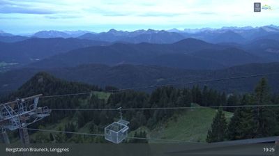
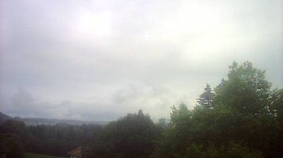
Otevřené vleky: 0%
Sněhová zpráva
- Posledních 24h: 0 cm
- Posledních 72h: 0 cm
- Posledních 7 dní: 0 cm
- Posledních 7 dní: Údolí 0cm · Střední část 0cm · Vrchol 0cm
- Sezónní úhrn: 0 cm
Lyžařská střediska otevřená právě teď · Sněhová zpráva
About Bad Tölz
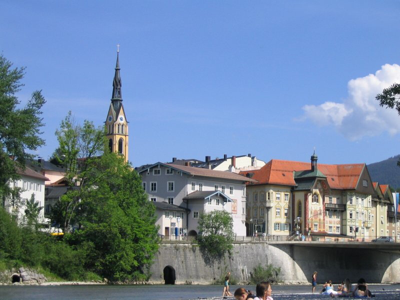
A pastel-hued Bavarian gem where baroque frescoes line the Marktstraße and traditional spa culture meets slow-paced riverside living.
Highlights
- Baroque Lüftlmalerei murals
- Healing iodine springs
- Traditional Bavarian architecture
- Isar river walks
Key Facts
- Altitude: 702m
- Top lift: 1236m
- Ski pistes: 4km
- Ski lifts: 1
- Population: 3,702
- Lakes nearby: 35
- MTB trails: 120.4km
- Mountain huts: 8
Ski Area
Weather and 10-day forecast for Bad Tölz
- Today: 6 to 20 °C, clear sky, 11 h of sunshine
- Freezing level today: about 3964 m (3850 to 4040 m)
| Day | Min / max | Sky | Precipitation | Sunshine |
|---|---|---|---|---|
| so 26. 9. | 6 / 20 °C | clear sky | dry | 11 h sun |
| ne 27. 9. | 5 / 22 °C | clear sky | dry | 12 h sun |
| po 28. 9. | 8 / 21 °C | partly cloudy | dry | 6 h sun |
| út 29. 9. | 6 / 19 °C | clear sky | dry | 9 h sun |
| st 30. 9. | 7 / 21 °C | clear sky | dry | 9 h sun |
| čt 1. 10. | 8 / 21 °C | clear sky | dry | 11 h sun |
| pá 2. 10. | 7 / 12 °C | rain | dry | 1 h sun |
| so 3. 10. | 9 / 17 °C | partly cloudy | dry | 4 h sun |
| ne 4. 10. | 7 / 17 °C | partly cloudy | dry | 5 h sun |
| po 5. 10. | 8 / 17 °C | clear sky | dry | 11 h sun |
Things to do in Bad Tölz
Hikes nearby — Bad Tölz (20)
20+ curated hiking trails around Bad Tölz, sourced from OpenStreetMap and enriched with distance, elevation gain and difficulty.
-
Wörnern - Bad Tölz
-
HK19 Kiefersau-Rundweg
-
HK02 Zum Stallauer Weiher
-
Blomberg Zwiesel
-
HK09 Bad Heilbrunn Buchberg Blomberg Zwiesel
-
Wanderweg B 1 - Isarwinkel
-
Wanderwegenetz Tölzer Land
-
Heilklima Rundwanderweg W51
-
Wackersberg - Zwieselberg
-
Wanderweg H 1 - Isarwinkel
-
Wanderweg W 9 - Isarwinkel
-
Kleine Bergrunde
-
Wanderweg HB 1 - Isarwinkel
-
Höhenweg Bad Heilbrunn - Kochel
The route climbs from Bad Heilbrunn's Birkenallee south along the Schellenbach, winding through alternating forest shelter and open fields and meadows before descending past Obersteinbach toward Kochel am See. It serves as the connecting link between the Heilklimawanderwege of both towns, with the terrain shifting repeatedly between wind-exposed clearings and the dampened climate of the woodland.
-
Wanderweg 466 - Isarwinkel
-
Wanderweg 460 - Isarwinkel
-
Wanderweg TK 4 - Isarwinkel
-
Heilige Landschaft Pfaffenwinkel - Ostschleife
-
Gschwendt - Arzbach
-
Aueralm-Fockenstein-Kampen über Bad Wiesseer Höhenstraße
Mountain biking near Bad Tölz
- Bichl - Zwiesel - Blomberg
- Isarradweg
Getting to Bad Tölz
Door-to-door travel times as used by the MR. ALPS ranking.
- Nearest airport: Munich Airport (MUC), 70 km away, about 1h08 by road
- München: 51 min by car, 56 km
- Innsbruck: 1h29 by car, 97 km
- Nürnberg: 2h19 by car, 225 km
- Bolzano - Bozen: 2h53 by car, 209 km
- Stuttgart: 3h02 by car, 273 km
- Trento: 3h24 by car, 265 km
Where to stay in Bad Tölz
110 places to stay for a night on 2026-10-02, from 359 EUR per night, median 453 EUR. Prices are direct with hotels and destinations, compared live on the Bad Tölz page.