Eichholzkopf
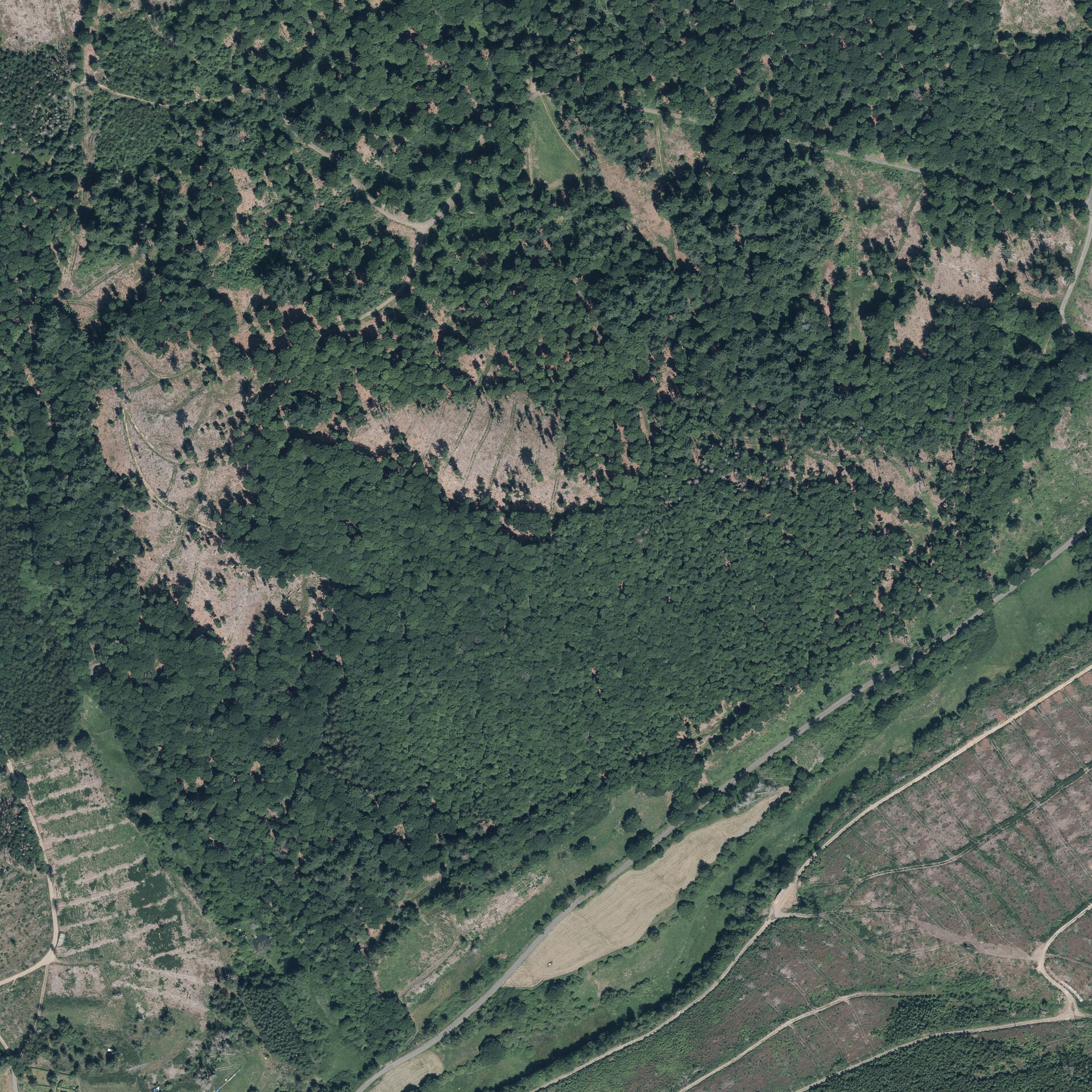
About Eichholzkopf
A quiet Hessian escape where local families trade urban noise for grassy slopes and gentle trails through the Lahn-Dill highlands.
Highlights
- Hessian highland trails
- Family-friendly slopes
- Local hiking circuits
- Panoramic forest lookouts
Key Facts
- Altitude: 548m
- Top lift: 609m
- Ski pistes: 0.4km
- Ski lifts: 1
- Lakes nearby: 8
- MTB trails: 63.3km
Ski Area
Weather and 10-day forecast for Eichholzkopf
- Today: 10 to 17 °C, partly cloudy, 7 h of sunshine
- Freezing level today: about 3348 m (2750 to 3820 m)
| Day | Min / max | Sky | Precipitation | Sunshine |
|---|---|---|---|---|
| Fri, Oct 2 | 10 / 17 °C | partly cloudy | dry | 7 h sun |
| Sat, Oct 3 | 10 / 18 °C | rain showers | dry | 6 h sun |
| Sun, Oct 4 | 9 / 17 °C | overcast | dry | 1 h sun |
| Mon, Oct 5 | 10 / 21 °C | clear sky | dry | 9 h sun |
| Tue, Oct 6 | 9 / 21 °C | partly cloudy | dry | 6 h sun |
| Wed, Oct 7 | 11 / 13 °C | rain showers | dry | 0 h sun |
| Thu, Oct 8 | 5 / 10 °C | rain showers | dry | 5 h sun |
| Fri, Oct 9 | 3 / 10 °C | drizzle | dry | 1 h sun |
| Sat, Oct 10 | 7 / 12 °C | drizzle | dry | 3 h sun |
| Sun, Oct 11 | 5 / 10 °C | drizzle | dry | 2 h sun |
Things to do in Eichholzkopf
Hikes nearby - Eichholzkopf (20)
20+ curated hiking trails around Eichholzkopf, sourced from OpenStreetMap and enriched with distance, elevation gain and difficulty.
-
European Long distance path E1 - part Germany, Nordrhein-Westfalen (south)
-
Rundweg Wilgersdorf
Rundwanderweg rund um Wilgersdorf
-
Doppelbalken Netphen - Forsthaus Hohenroth
Netphen (Siegerland) über Brauersdorf zum Forsthaus Hohenroth
-
Deuz Rundweg A5
-
Nord Süd Trail, Abschnitt Lützel - Bismarcktempel
-
Lahnwanderweg - 01
01. Etappe von Lahnquelle nach Feudingen über Volkholz, Ilsequelle, Lahnhof
-
Lahnwanderweg - 02. Etappe Feudingen-Bad Laasphe
02. Etappe von Feudingen nach Bad Laasphe über Schloß Wittgenstein, Saßmannshausen und Weidelbacher Weiher
-
Rothaarsteig Etappen 6-8
Der Rothaarsteig ist ein 156,8 km langer und 2001 eröffneter Fernwanderweg, der insbesondere auf dem Hauptgebirgskamm des Rothaargebirges verläuft, einem Mittelgebirge in Nordrhein-Westfalen (NW) und Hessen (HE), und im Rahmen der Westerwaldvariante einen Abstecher im Westerwald, einem Mittelgebirge in Nordrhein-Westfalen, Hessen und Rheinland-Pfalz, hat.
-
Raute4 Siegen-Irmgarteichen
-
Landgraf-Philipp-Pfad
Marburg-Schloss - Gönnern - Haiger
-
Schulweg Rundweg A7 Lahntal-Lahnquelle-Eisenstraße
-
Schulweg Rundweg A6 - Über die Eisenstraße
-
südlicher Rothaarsteig-Zuweg Hainchen
Zugangsweg von Hainchen zum Rothaarsteig
-
Hainchen Rundweg A3
Rundwanderweg, Start und Ende am Wanderparkplatz Hainchen.
-
Extratour Haubergstour
-
X2 Rothaarweg
Der Rothaarweg ist ein Hauptwanderweg des Sauerländischen Gebirgsvereins und besitzt wie auch all die anderen Hauptwanderstrecken als Wegzeichen das weiße Andreaskreuz X, an Kreuzungspunkten um die Ziffer 2 erweitert.
-
Extratour Hirzenhainer Höhenflug
-
Audiowege am Rothaarsteig - Gernsdorfer Weidekämpe
-
Extratour Eschenburgpfad
-
Extratour Boxbachpfad
Getting to Eichholzkopf
Door-to-door travel times as used by the MR. ALPS ranking.
- Nearest airport: Cologne Bonn Airport (CGN), 81 km away, about 1h47 by road
- Frankfurt am Main: 1h36 by car, 120 km
- Koblenz: 1h41 by car, 99 km
- Mannheim: 2h16 by car, 196 km
- Stuttgart: 3h31 by car, 314 km
- Nürnberg: 3h36 by car, 336 km
- Strasbourg: 3h39 by car, 331 km
Where to stay in Eichholzkopf
14 places to stay for a night on 2026-10-02, from 164 EUR per night, median 189 EUR. Prices are direct with hotels and destinations, compared live on the Eichholzkopf page.